UN/LOCODE hub · United States
USTXU
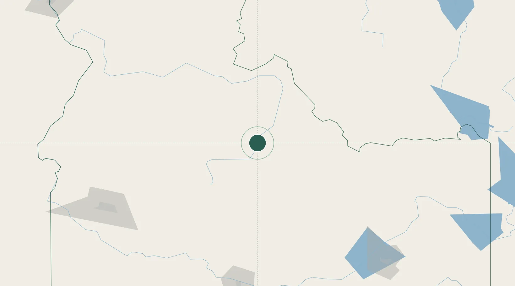
Garden City
44.5000°, -114.2167°
11,550
Population
2
Transport functions
Transport Functions
Port
Multimodal
Hub Profile
Place type
Populated place
Region
Idaho
Population
11,550
Time zone
America/Boise
Elevation
815 m
Location
Nearby Logistics Neighbours
Ports
- 1The Dalles561 km
- 2Washougal650 km
- 3Camas654 km
- 4Portland674 km
- 5Vancouver676 km
Airports
- 1Stanley Airport66 km
- 2Lemhi County Airport74 km
- 3Friedman Memorial Airport111 km
- 4McCall Municipal Airport155 km
- 5Boise Air Terminal/Gowen Field191 km
Trade Zones
- 1FTZ No. 274 Butte-Silver Bow186 km
- 2FTZ No. 275 Lansing213 km
- 3FTZ No. 280 Ada and Canyon Counties254 km
- 4FTZ No. 088 Great Falls397 km
- 5FTZ No. 224 Spokane433 km
DatabookThe Record of Consolidated Knowledge
United States beyond logistics?