UN/LOCODE hub · United States
USQKM
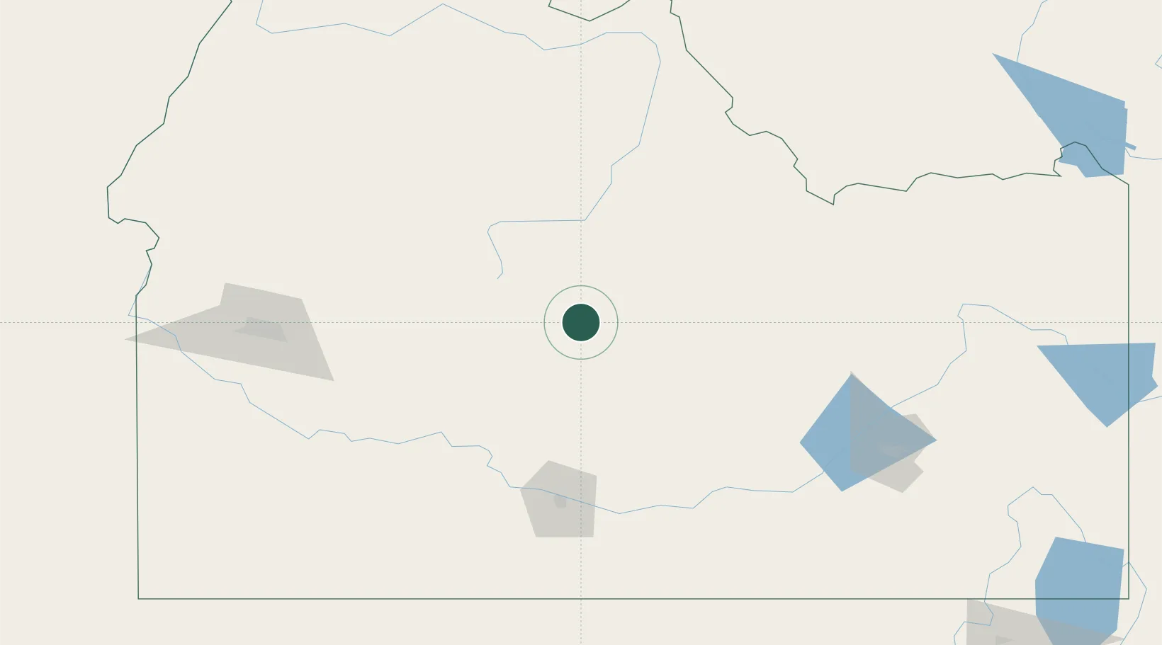
Ketchum
43.6667°, -114.3500°
2,728
Population
4
Transport functions
Transport Functions
Port
Rail
Road
Multimodal
Hub Profile
Place type
Populated place
Region
Idaho
Population
2,728
Time zone
America/Boise
Elevation
1,784 m
Location
Nearby Logistics Neighbours
Cities
- 1Richfield72 km
- 2Garden City93 km
- 3Minidoka123 km
- 4Mayfield128 km
- 5Heyburn133 km
Ports
- 1The Dalles582 km
- 2Washougal668 km
- 3Camas671 km
- 4Portland690 km
- 5Vancouver694 km
Airports
Trade Zones
- 1FTZ No. 280 Ada and Canyon Counties219 km
- 2FTZ No. 274 Butte-Silver Bow273 km
- 3FTZ No. 275 Lansing297 km
- 4FTZ No. 030 Salt Lake City376 km
- 5FTZ No. 088 Great Falls483 km
DatabookThe Record of Consolidated Knowledge
United States beyond logistics?