Small airport · United States
Stanley Airport2U7
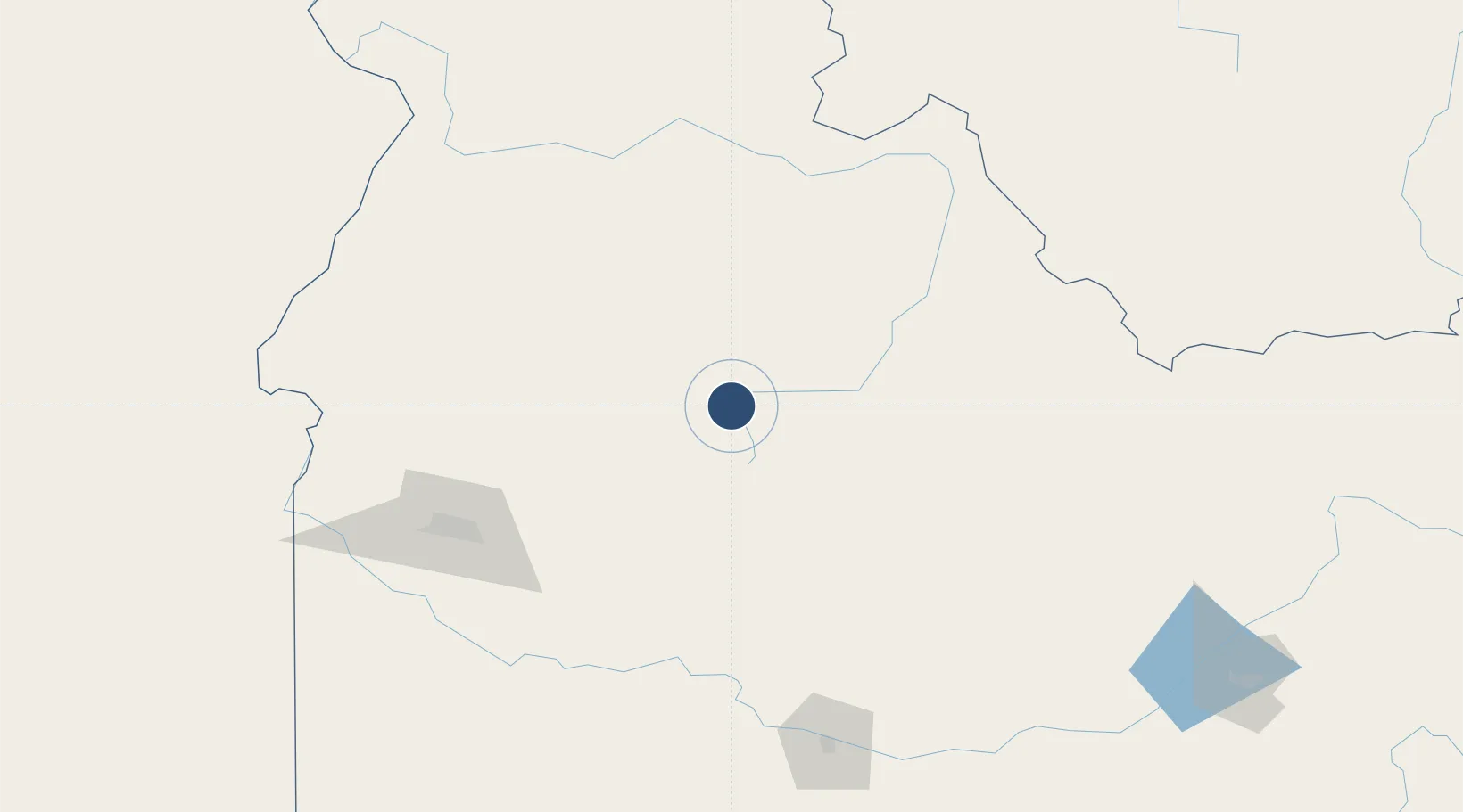
44.2085°, -114.9350°
4,300 ft
Longest runway
1
Runways
6,403 ft
Elevation
Runway & Layout

Runways · 1
| Runway | Dimensions | Surface | True heading | Lit |
|---|---|---|---|---|
| 17/35 | 4,300 × 150ft | TURF-DIRT-G | — | — |
Airport Specifications
Airport class
Small airport
Scheduled service
Yes
Runway surface
TURF-DIRT-G
Served city
Stanley
Location
Nearby Logistics Neighbours
Airports
- 1Friedman Memorial Airport94 km
- 2McCall Municipal Airport119 km
- 3Boise Air Terminal/Gowen Field126 km
- 4Lemhi County Airport131 km
- 5Mountain Home Air Force Base150 km
Cities
- 1Garden City66 km
- 2Ketchum76 km
- 3Donnelly108 km
- 4Mayfield117 km
- 5Eagle, Ada127 km
Ports
- 1The Dalles516 km
- 2Washougal604 km
- 3Camas607 km
- 4Portland626 km
- 5Vancouver630 km
Trade Zones
- 1FTZ No. 280 Ada and Canyon Counties188 km
- 2FTZ No. 274 Butte-Silver Bow246 km
- 3FTZ No. 275 Lansing275 km
- 4FTZ No. 224 Spokane433 km
- 5FTZ No. 030 Salt Lake City452 km
DatabookThe Record of Consolidated Knowledge
United States beyond logistics?