Transport Functions
Rail
Road
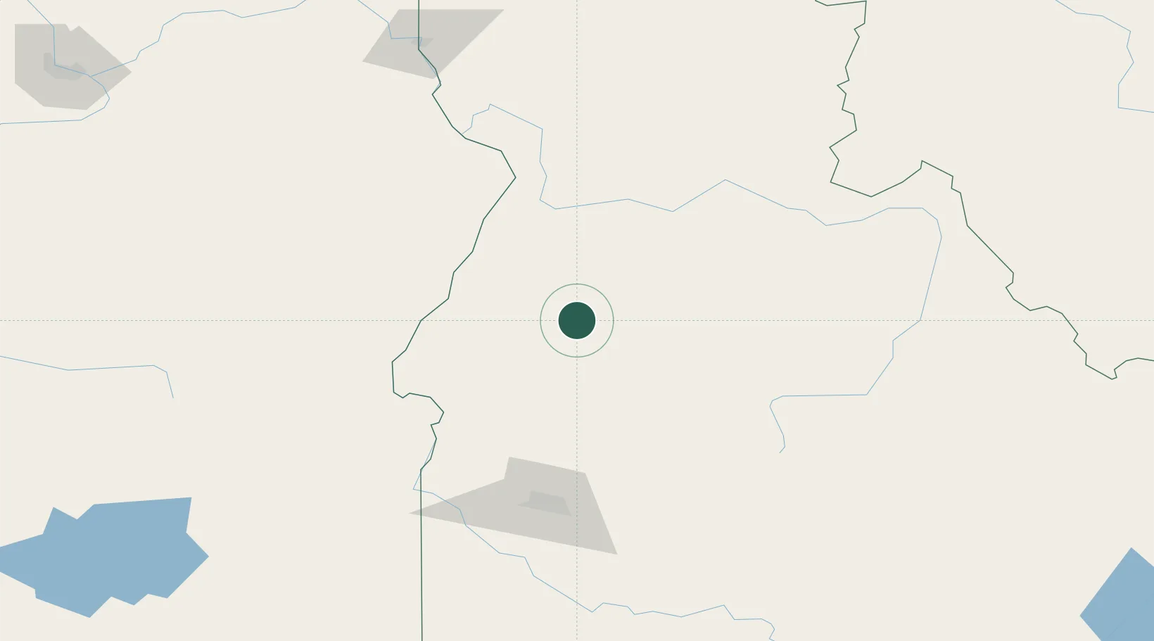
Hub Profile
Place type
Populated place
Region
Idaho
Population
147
Time zone
America/Boise
Elevation
1,483 m
Location
Nearby Logistics Neighbours
Cities
- 1Richland87 km
- 2New Plymouth103 km
- 3Orogrande115 km
- 4Eagle, Ada117 km
- 5Nyssa119 km
Ports
- 1The Dalles411 km
- 2Washougal500 km
- 3Camas504 km
- 4Portland524 km
- 5Vancouver527 km
Airports
- 1McCall Municipal Airport17 km
- 2Stanley Airport108 km
- 3Ontario Municipal Airport108 km
- 4Boise Air Terminal/Gowen Field131 km
- 5Baker City Municipal Airport137 km
Trade Zones
- 1FTZ No. 280 Ada and Canyon Counties158 km
- 2FTZ No. 274 Butte-Silver Bow280 km
- 3FTZ No. 275 Lansing311 km
- 4FTZ No. 224 Spokane344 km
- 5FTZ No. 203 Moses Lake367 km
DatabookThe Record of Consolidated Knowledge
United States beyond logistics?