Seaport · United States
VancouverUSVAN
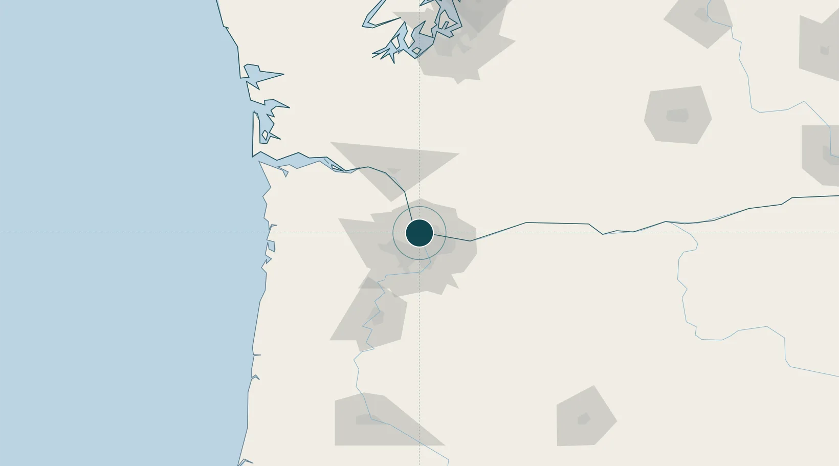
45.6333°, -122.6833°
12.5 m
Channel depth
23.9
Port liner connectivity
Channel & Berth Profile
Pilotage, Tugs & Services
Pilotage compulsoryNO
Pilotage availableYES
Pilotage advisableYES
Tug assistanceYES
Shore powerYES
Potable waterYES
Diesel bunkersYES
MedicalYES
Garbage disposalYES
Facilities & Capabilities
Container—
Ro-Ro—
Liquid bulk—
Dry bulk—
Oil terminal—
Break bulk—
Dry dock—
RepairsNO
BunkeringYES
Rail linkYES
Dangerous cargo—
ISPS security—
Harbour Specifications
Harbour size
Medium
Harbour type
River (Natural)
Shelter
Excellent
Water body
North Pacific Ocean
Tidal range
0.3 m
Overhead limit
Yes
Pilotage
No
Liner Connectivity
23.9
PLSCI
Port Liner Shipping Connectivity Index for Vancouver, as published by UNCTAD for the latest available quarter. Higher values indicate stronger scheduled liner-shipping integration.
Shown relative to the highest per-port PLSCI in the dataset (1,657.9).
Location
Nearby Logistics Neighbours
Cities
- 1Rivergate7 km
- 2Linnton9 km
- 3Portland11 km
- 4Ridgefield19 km
- 5Warren24 km
Airports
Trade Zones
- 1FTZ No. 296 Vancouver1 km
- 2FTZ No. 045 Portland13 km
- 3FTZ No. 255 Washington County56 km
- 4FTZ No. 120 Cowlitz County60 km
- 5FTZ No. 216 Olympia158 km
DatabookThe Record of Consolidated Knowledge
United States beyond logistics?