Transport Functions
Rail
Road
Hub Profile
Place type
Populated place
Region
Idaho
Time zone
America/Boise
Elevation
1,469 m
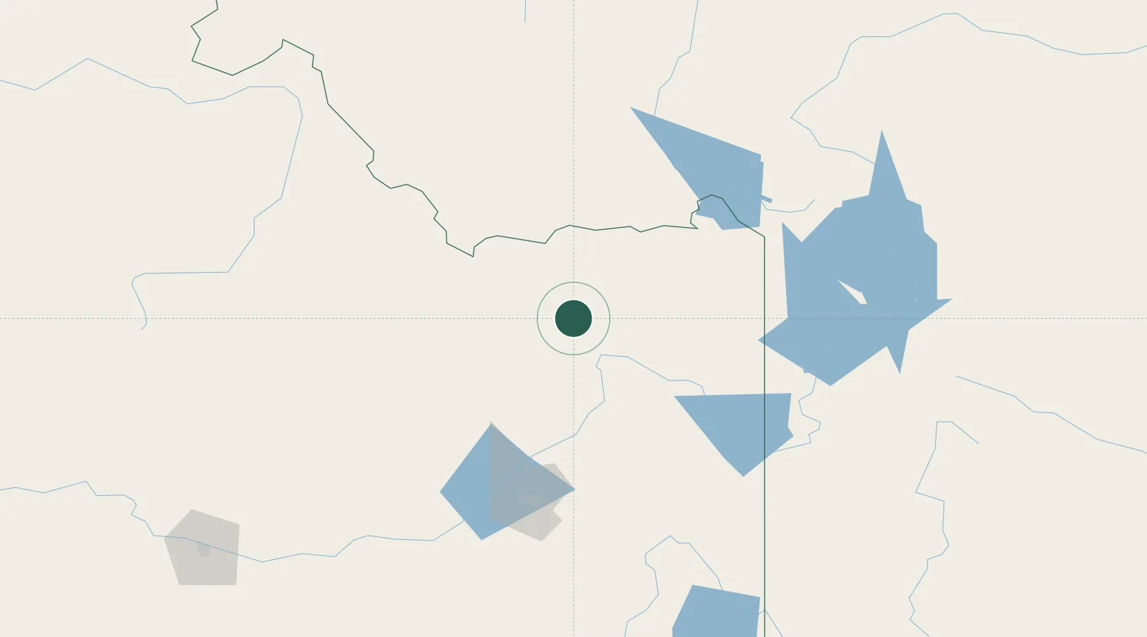
Location
Nearby Logistics Neighbours
Cities
- 1Hamer9 km
- 2Sugar City41 km
- 3Rigby42 km
- 4Saint Anthony44 km
- 5Shelley71 km
Ports
- 1The Dalles729 km
- 2Washougal818 km
- 3Camas822 km
- 4Portland842 km
- 5Vancouver845 km
Airports
- 1Idaho Falls Regional Airport55 km
- 2Yellowstone Airport116 km
- 3Pocatello Regional Airport125 km
- 4Jackson Hole Airport126 km
- 5Friedman Memorial Airport176 km
Trade Zones
- 1FTZ No. 274 Butte-Silver Bow219 km
- 2FTZ No. 275 Lansing225 km
- 3FTZ No. 030 Salt Lake City359 km
- 4FTZ No. 280 Ada and Canyon Counties393 km
- 5FTZ No. 088 Great Falls394 km
DatabookThe Record of Consolidated Knowledge
United States beyond logistics?