Large airport · United States
Boise Air Terminal/Gowen FieldKBOI
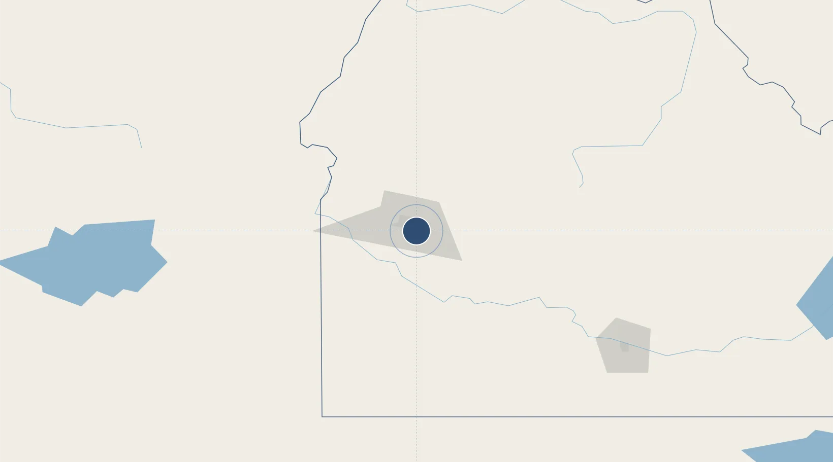
43.5644°, -116.2230°
10,000 ft
Longest runway
2
Runways
2,871 ft
Elevation
Runway & Layout

Radio Frequencies
ATIS
123.9 MHz
TWR
118.1 MHz
GND
121.7 MHz
CLD
125.9 MHz
CLNC DEL
A/D
119.6 MHz
APP/DEP
CNTR
128.05 MHz
SALT LAKE CITY CNTR
MISC
29.87 MHz
ANG OPS
OPS
41.5 MHz
ARNG OPS
RDO
122.2 MHz
UNIC
122.95 MHz
UNICOM
Navaids
BO NDB Ustik 359 kHz
Runways · 2
| Runway | Dimensions | Surface | True heading | Lit |
|---|---|---|---|---|
| 10L/28R | 10,000 × 150ft | Asphalt | 115° | ✓ |
| 10R/28L | 9,763 × 150ft | Asphalt | 115° | ✓ |
Airport Specifications
IATA code
BOI
ICAO code
KBOI
Airport class
Large airport
Scheduled service
Yes
Runway surface
Asphalt
Served city
Boise
Location
Nearby Logistics Neighbours
Airports
- 1Mountain Home Air Force Base65 km
- 2Ontario Municipal Airport81 km
- 3Stanley Airport126 km
- 4McCall Municipal Airport148 km
- 5Friedman Memorial Airport156 km
Cities
- 1Eagle, Ada18 km
- 2Mayfield31 km
- 3Sunnyslope45 km
- 4Parma62 km
- 5New Plymouth65 km
Ports
- 1The Dalles453 km
- 2Washougal535 km
- 3Camas538 km
- 4Portland555 km
- 5Vancouver561 km
Trade Zones
- 1FTZ No. 280 Ada and Canyon Counties68 km
- 2FTZ No. 274 Butte-Silver Bow369 km
- 3FTZ No. 275 Lansing398 km
- 4FTZ No. 203 Moses Lake465 km
- 5FTZ No. 030 Salt Lake City467 km
DatabookThe Record of Consolidated Knowledge
United States beyond logistics?