Transport Functions
Rail
Road
Airport
Hub Profile
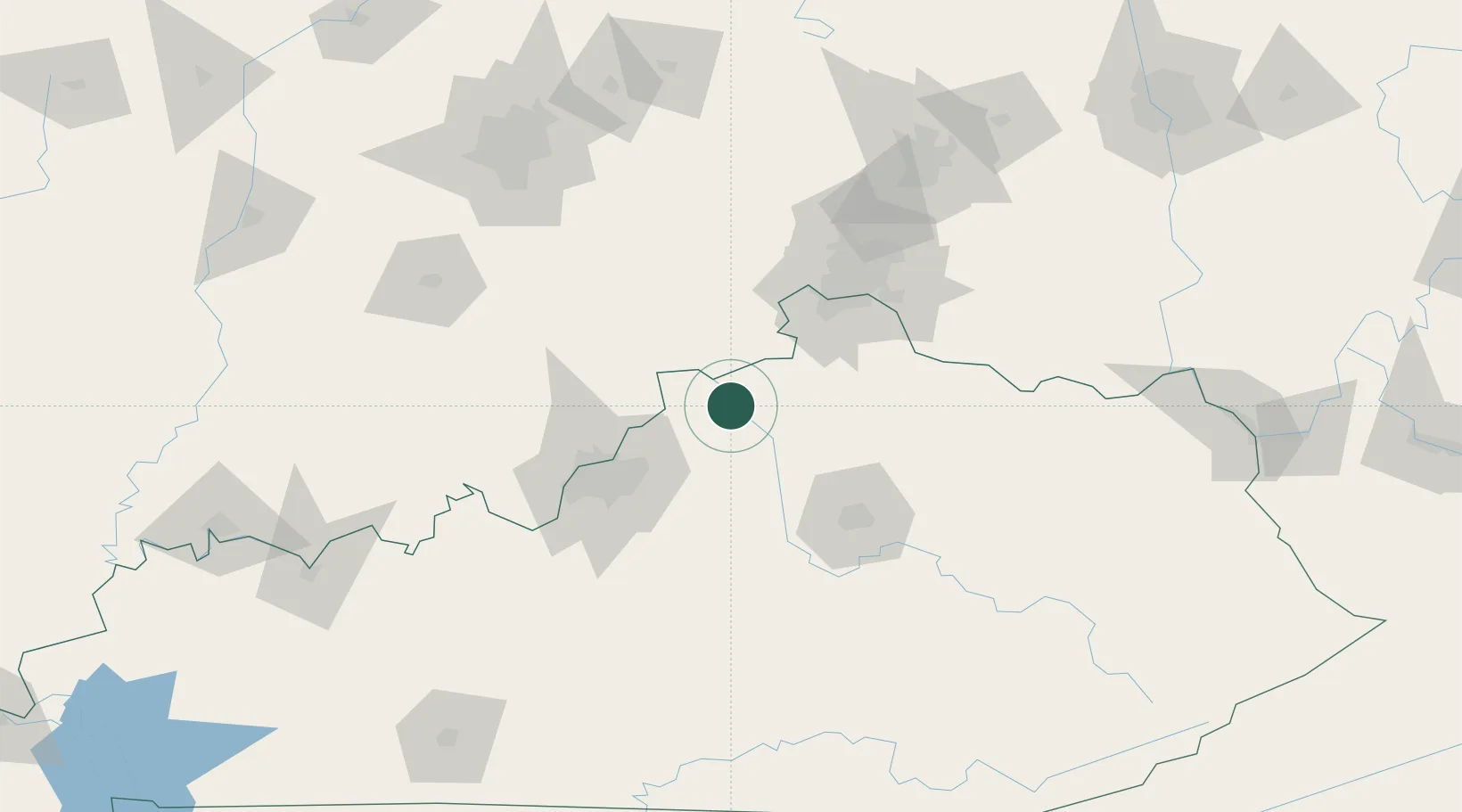
Place type
Populated place
Region
Kentucky
Time zone
America/New_York
Elevation
239 m
Location
Nearby Logistics Neighbours
Ports
- 1Toledo375 km
- 2Port Clinton376 km
- 3Sandusky379 km
- 4Huron383 km
- 5Michigan City384 km
Airports
Trade Zones
- 1FTZ No. 047 Boone County48 km
- 2FTZ No. 029 Louisville69 km
- 3FTZ No. 046 CIncinnati78 km
- 4FTZ No. 054 Clinton County149 km
- 5FTZ No. 100 Dayton154 km
DatabookThe Record of Consolidated Knowledge
United States beyond logistics?