Transport Functions
Port
Road
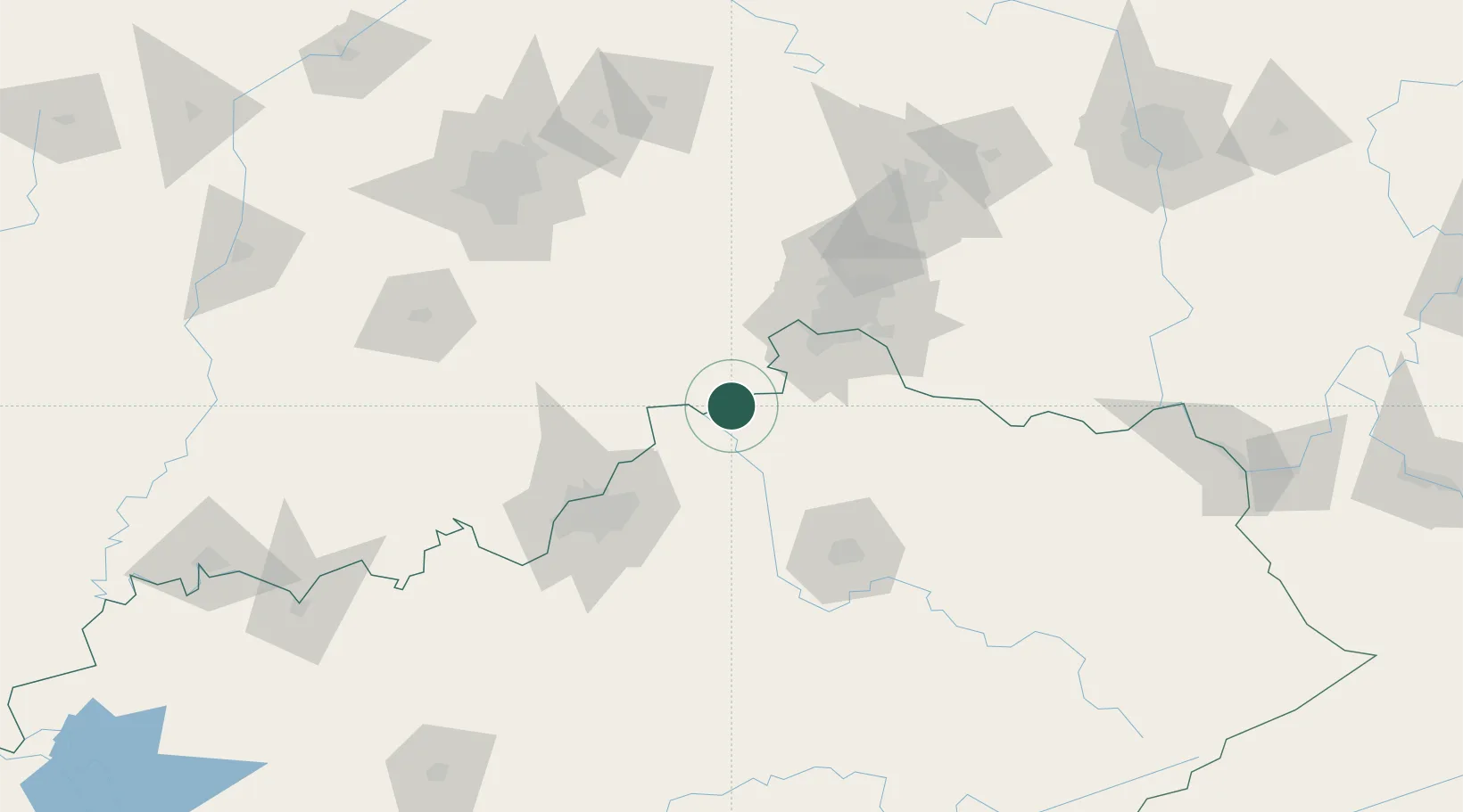
Hub Profile
Place type
Populated place
Region
Kentucky
Population
320
Time zone
America/New_York
Elevation
148 m
Location
Nearby Logistics Neighbours
Cities
- 1Warsaw14 km
- 2Turners Station19 km
- 3Bromley22 km
- 4Verona35 km
- 5Aurora38 km
Ports
- 1Toledo356 km
- 2Port Clinton358 km
- 3Sandusky361 km
- 4Huron365 km
- 5Michigan City369 km
Airports
Trade Zones
- 1FTZ No. 047 Boone County29 km
- 2FTZ No. 046 CIncinnati62 km
- 3FTZ No. 029 Louisville83 km
- 4FTZ No. 054 Clinton County134 km
- 5FTZ No. 100 Dayton135 km
DatabookThe Record of Consolidated Knowledge
United States beyond logistics?