Transport Functions
Port
Road
Hub Profile
Place type
Provincial seat
Region
Kentucky
Population
1,695
Time zone
America/New_York
Elevation
151 m
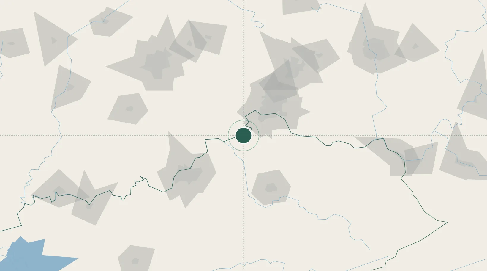
Location
Nearby Logistics Neighbours
Cities
- 1Ghent14 km
- 2Bromley18 km
- 3Verona21 km
- 4Crittenden26 km
- 5Walton26 km
Ports
- 1Toledo346 km
- 2Port Clinton347 km
- 3Sandusky350 km
- 4Huron353 km
- 5Put In Bay365 km
Airports
Trade Zones
- 1FTZ No. 047 Boone County20 km
- 2FTZ No. 046 CIncinnati49 km
- 3FTZ No. 029 Louisville97 km
- 4FTZ No. 054 Clinton County120 km
- 5FTZ No. 100 Dayton125 km
DatabookThe Record of Consolidated Knowledge
United States beyond logistics?