Transport Functions
Port
Hub Profile
Place type
Populated place
Region
Kentucky
Population
776
Time zone
America/New_York
Elevation
277 m
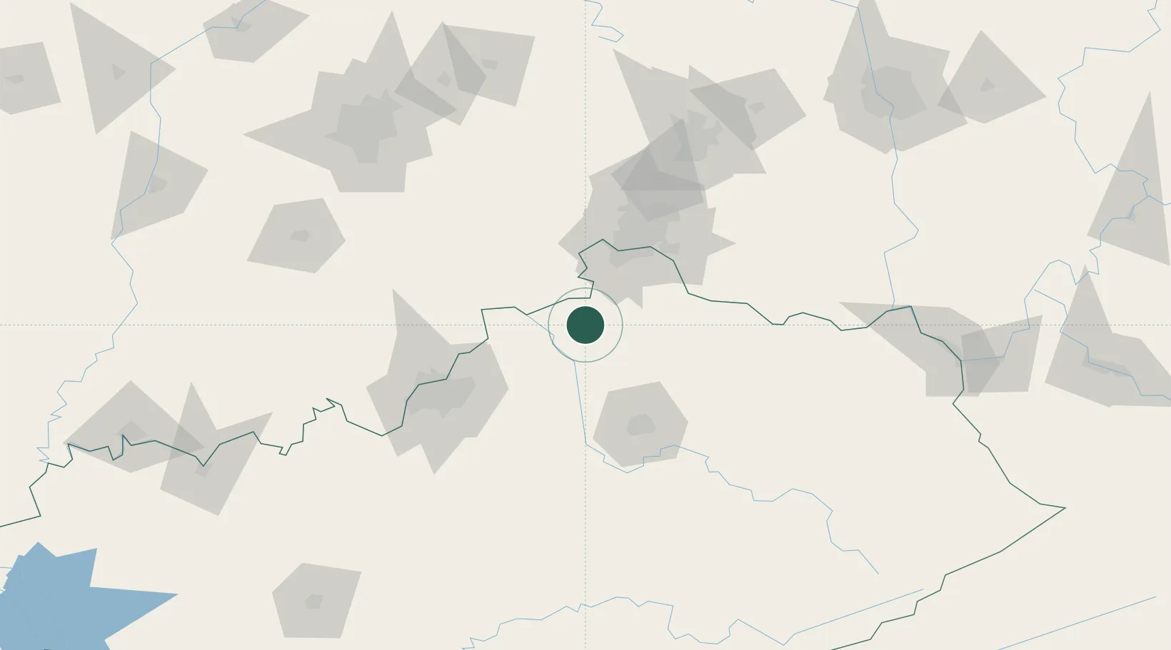
Location
Nearby Logistics Neighbours
Cities
- 1Warsaw18 km
- 2Ghent22 km
- 3Turners Station24 km
- 4Verona25 km
- 5Crittenden26 km
Ports
- 1Port Clinton359 km
- 2Toledo360 km
- 3Sandusky361 km
- 4Huron364 km
- 5Vermilion376 km
Airports
Trade Zones
- 1FTZ No. 047 Boone County37 km
- 2FTZ No. 046 CIncinnati59 km
- 3FTZ No. 029 Louisville93 km
- 4FTZ No. 054 Clinton County127 km
- 5FTZ No. 100 Dayton138 km
DatabookThe Record of Consolidated Knowledge
United States beyond logistics?