Transport Functions
Rail
Road
Multimodal
Hub Profile
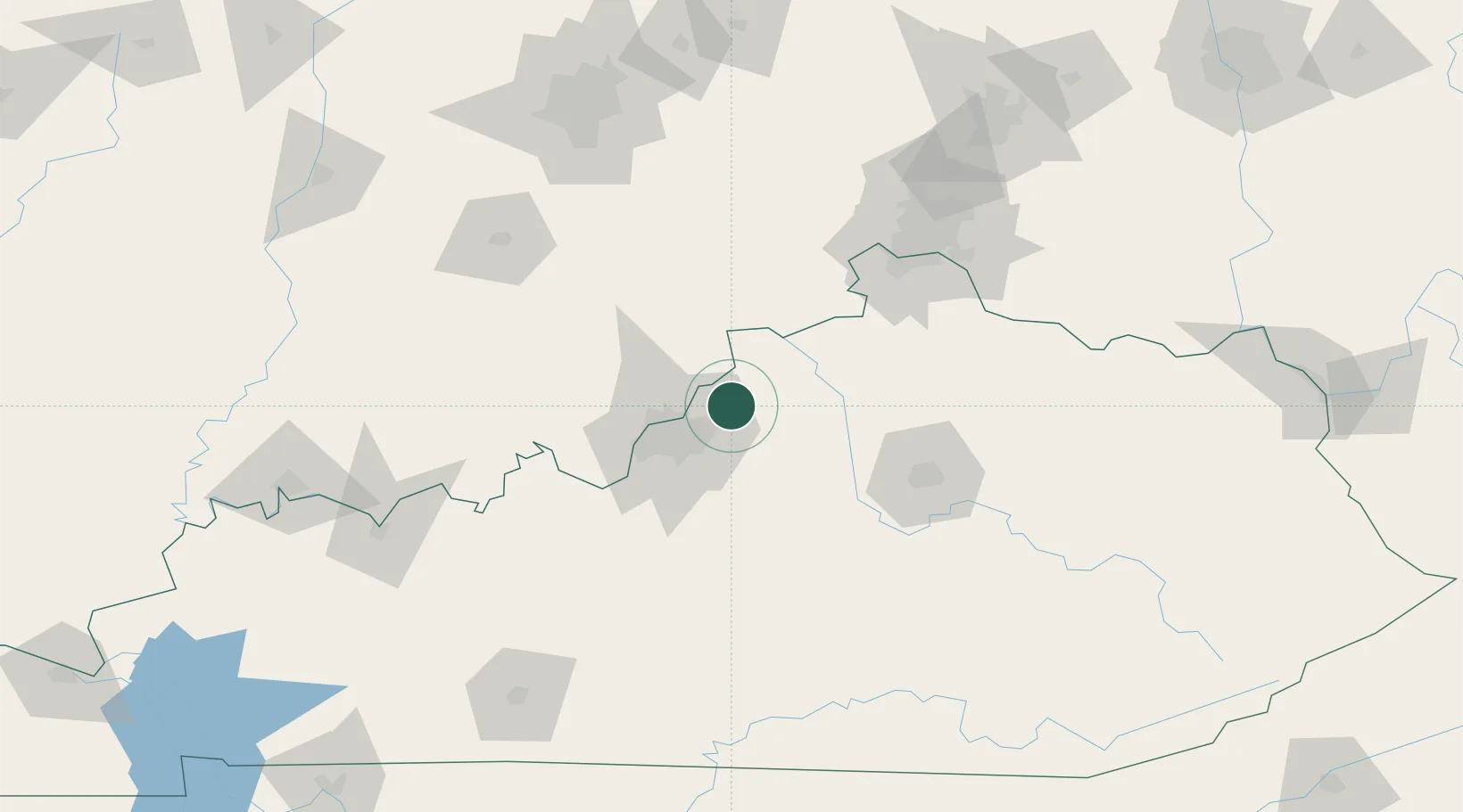
Place type
Populated place
Region
Kentucky
Population
5,837
Time zone
America/New_York
Elevation
251 m
Location
Nearby Logistics Neighbours
Cities
- 1Speed28 km
- 2Whitner30 km
- 3Nabb31 km
- 4Louisville33 km
- 5Turners Station37 km
Ports
- 1Michigan City395 km
- 2Gary396 km
- 3Indiana Harbor405 km
- 4Toledo407 km
- 5Port Clinton410 km
Airports
Trade Zones
- 1FTZ No. 029 Louisville34 km
- 2FTZ No. 047 Boone County81 km
- 3FTZ No. 046 CIncinnati114 km
- 4FTZ No. 072 Indianapolis169 km
- 5FTZ No. 054 Clinton County185 km
DatabookThe Record of Consolidated Knowledge
United States beyond logistics?