UN/LOCODE hub · United States
USNJB

Nabb

38.6000°, -85.6333°
2
Transport functions

Transport Functions

Rail
Road
UN/LOCODE

Hub Profile

Place type
Populated place
GeoNames
Region
Indiana
GeoNames
Time zone
America/Kentucky/Louisville
GeoNames
Elevation
213 m
GeoNames

Location

Location of USNJB
Natural Earth 10m (public domain) · Indiana · USNJB · 38.60, -85.63GoogleOSMYandex

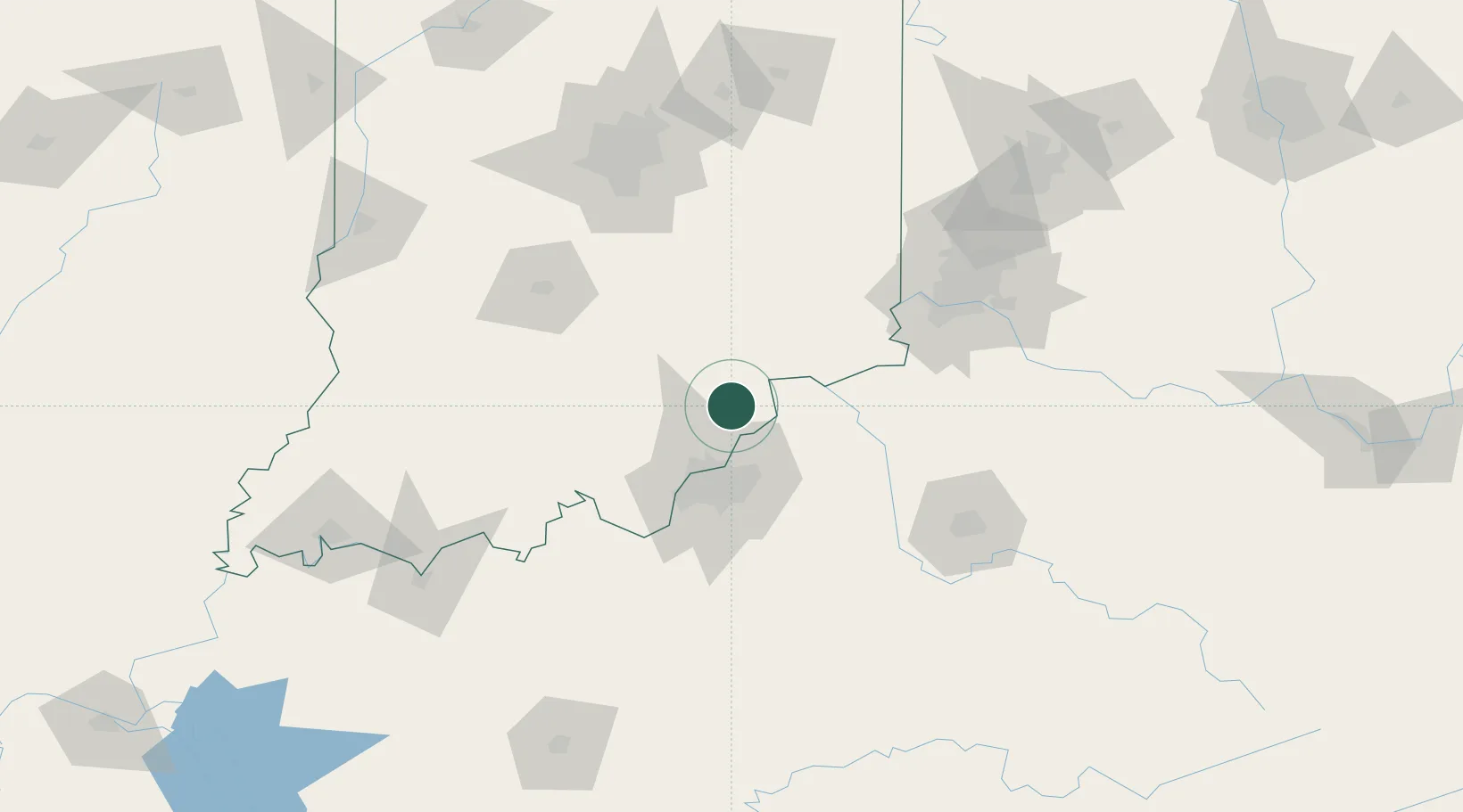
Nearby Logistics Neighbours

Cities
  1. 1Goshen, Scott10 km
  2. 2Speed23 km
  3. 3Starlight31 km
  4. 4Buckner31 km
  5. 5Turners Station47 km
Nearest neighbours — logibook spatial index (haversine) over the source coordinates
Ports
  1. 1Michigan City365 km
  2. 2Gary365 km
  3. 3Indiana Harbor374 km
  4. 4Calumet Harbor383 km
  5. 5Toledo391 km
Nearest neighbours — logibook spatial index (haversine) over the source coordinates
Airports
  1. 1Bowman Field41 km
  2. 2Louisville Muhammad Ali International Airport49 km
  3. 3Columbus Municipal Airport77 km
  4. 4Godman Army Air Field83 km
  5. 5Cincinnati Northern Kentucky International Airport97 km
Nearest neighbours — logibook spatial index (haversine) over the source coordinates
Trade Zones
  1. 1FTZ No. 029 Louisville40 km
  2. 2FTZ No. 047 Boone County76 km
  3. 3FTZ No. 046 CIncinnati112 km
  4. 4FTZ No. 072 Indianapolis138 km
  5. 5FTZ No. 100 Dayton177 km
Nearest neighbours — logibook spatial index (haversine) over the source coordinates
DatabookThe Record of Consolidated Knowledge
United States beyond logistics?
Browse databook

All Sources

LocationsUN/LOCODE
UN/LOCODE — free
Portsthe NGA World Port Index
Public domain (US gov)
AirportsOurAirports
Public domain
Trade Zonesthe World Bank SEZ database
CC BY 4.0
Trade ZonesOpen Zone Map
CC BY
← United States locations