Medium airport · United States
Cincinnati Municipal Airport Lunken FieldKLUK
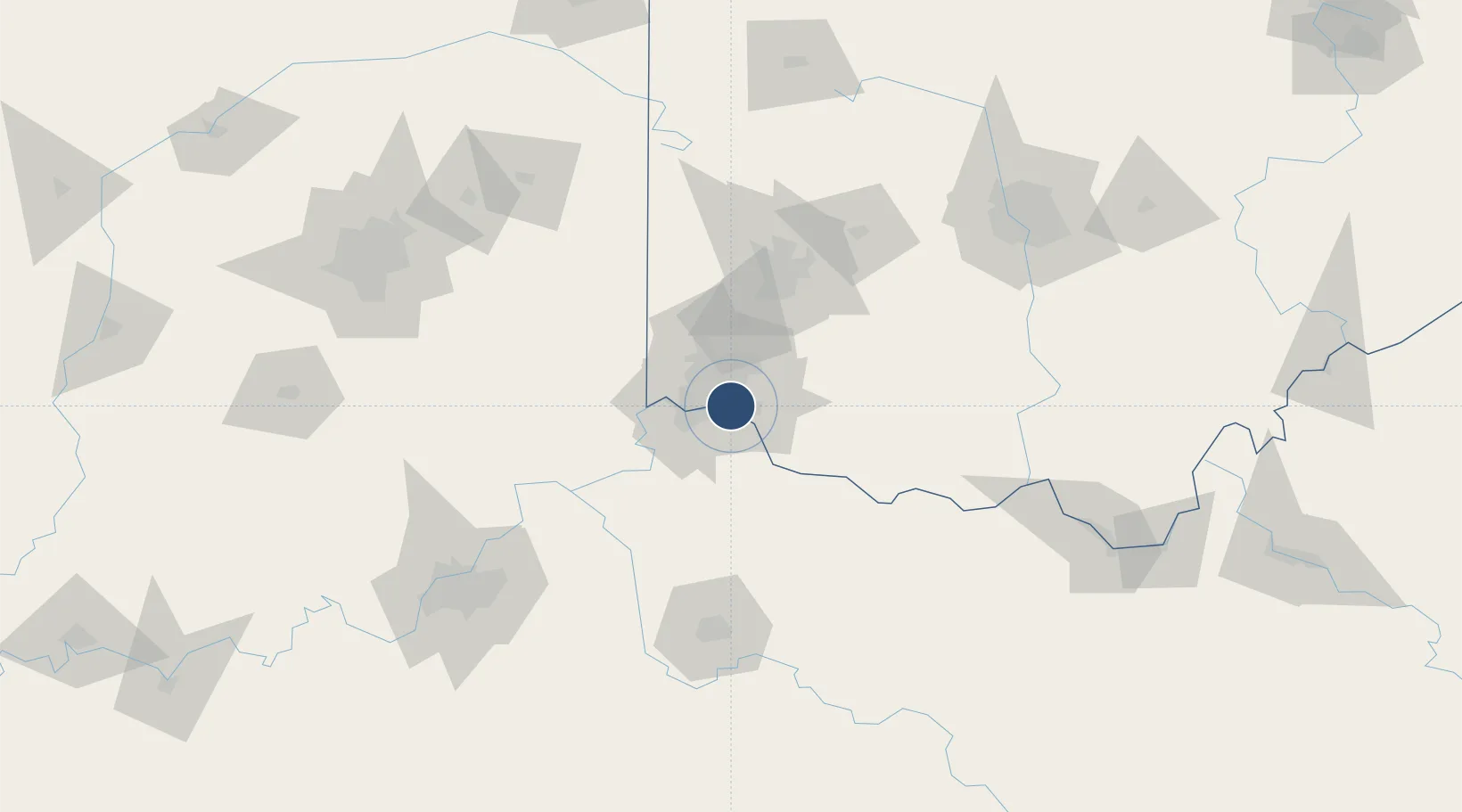
39.1024°, -84.4189°
6,101 ft
Longest runway
3
Runways
483 ft
Elevation
Runway & Layout

Radio Frequencies
ATIS
120.25 MHz
TWR
118.7 MHz
LUNKEN TWR
GND
121.9 MHz
CLD
121.9 MHz
CLNC DEL
CTAF
118.7 MHz
A/D
121 MHz
APP/DEP
RDO
122.4 MHz
DAYTON RDO
UNIC
122.95 MHz
UNICOM
Navaids
CVG VORTAC Cincinnati 117.30 MHz
LUK NDB Cincinnati 335 kHz
MDE NDB Madeira 379 kHz
Runways · 3
| Runway | Dimensions | Surface | True heading | Lit |
|---|---|---|---|---|
| 03R/21L | 6,101 × 150ft | Asphalt | 021° | ✓ |
| 07/25 | 5,127 × 100ft | Asphalt | 062° | ✓ |
| 03L/21R | 3,802 × 100ft | Asphalt | 023° | ✓ |
Airport Specifications
IATA code
LUK
ICAO code
KLUK
Airport class
Medium airport
Scheduled service
Yes
Runway surface
Asphalt
Served city
Cincinnati
Location
Nearby Logistics Neighbours
Airports
Cities
- 1Dayton4 km
- 2Southgate6 km
- 3Silver Grove8 km
- 4Silverton9 km
- 5Fort Mitchell12 km
Ports
- 1Port Clinton297 km
- 2Sandusky298 km
- 3Toledo300 km
- 4Huron301 km
- 5Vermilion312 km
Trade Zones
- 1FTZ No. 046 CIncinnati8 km
- 2FTZ No. 047 Boone County43 km
- 3FTZ No. 054 Clinton County65 km
- 4FTZ No. 100 Dayton78 km
- 5FTZ No. 138 Franklin County150 km
DatabookThe Record of Consolidated Knowledge
United States beyond logistics?