Transport Functions
Rail
Road
Hub Profile
Place type
Provincial seat
Region
Texas
Population
1,957
Time zone
America/Chicago
Elevation
147 m
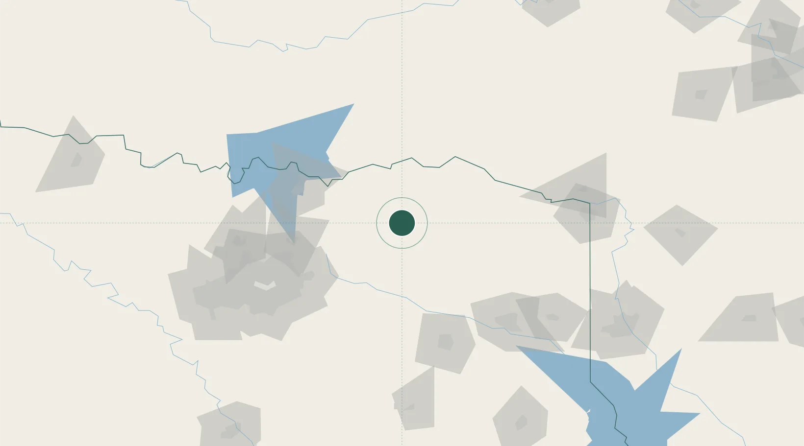
Location
Nearby Logistics Neighbours
Cities
- 1Burnett37 km
- 2Deport39 km
- 3Sumner39 km
- 4Mount Vernon49 km
- 5Powderly49 km
Ports
- 1Beaumont397 km
- 2Deer Park405 km
- 3Houston406 km
- 4Pasadena410 km
- 5Port Neches410 km
Airports
Trade Zones
- 1FTZ No. 258 Bowie County94 km
- 2FTZ No. 227 Durant95 km
- 3FTZ No. 234 Gregg County120 km
- 4FTZ No. 269 Athens133 km
- 5FTZ No. 113 Ellis County173 km
DatabookThe Record of Consolidated Knowledge
United States beyond logistics?