Transport Functions
Road
Multimodal
Hub Profile
Place type
Populated place
Region
Texas
Time zone
America/Chicago
Elevation
173 m
Logistics facilities
1
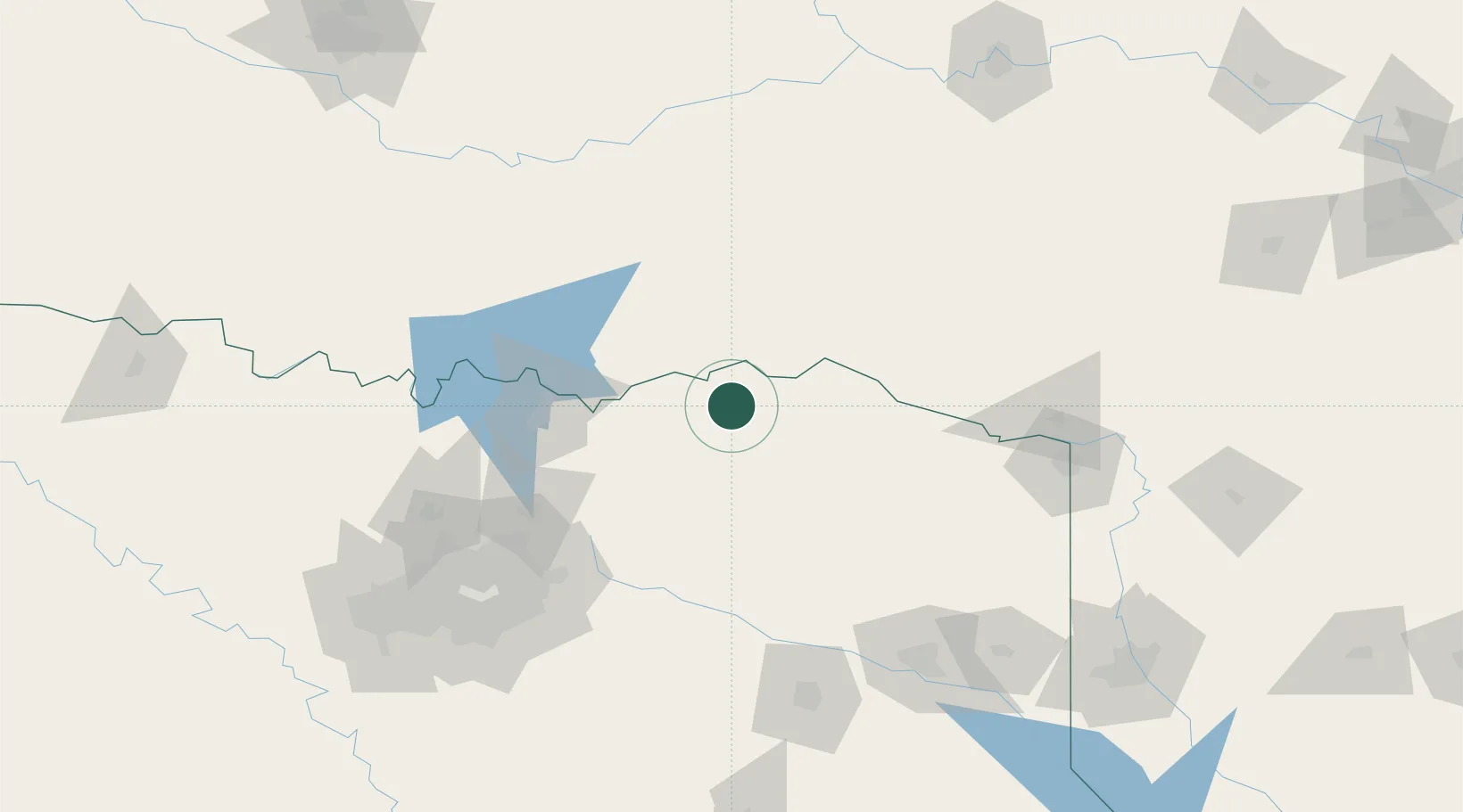
Location
Nearby Logistics Neighbours
Cities
- 1Powderly16 km
- 2Arthur City21 km
- 3Cooper39 km
- 4Burnett40 km
- 5Detroit40 km
Ports
- 1Beaumont433 km
- 2Deer Park444 km
- 3Houston444 km
- 4Orange445 km
- 5Port Neches446 km
Airports
Trade Zones
- 1FTZ No. 227 Durant74 km
- 2FTZ No. 258 Bowie County96 km
- 3FTZ No. 234 Gregg County152 km
- 4FTZ No. 269 Athens172 km
- 5FTZ No. 113 Ellis County203 km
DatabookThe Record of Consolidated Knowledge
United States beyond logistics?