Transport Functions
Port
Road
Hub Profile
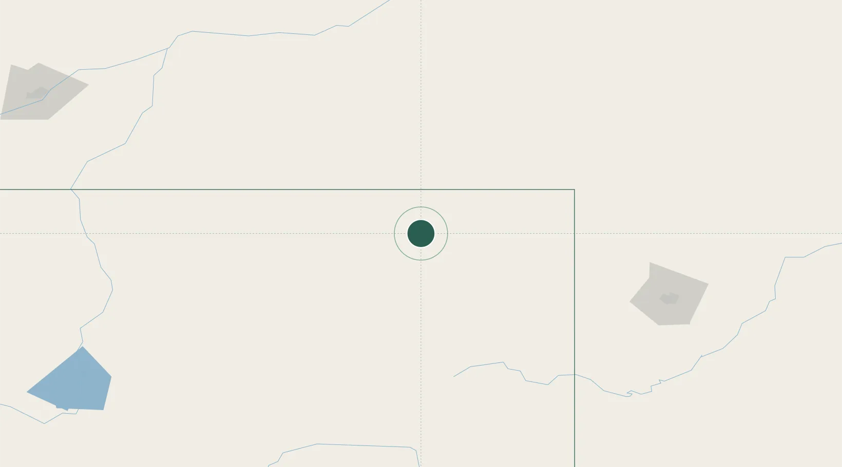
Place type
Populated place
Region
Wyoming
Time zone
America/Denver
Elevation
1,159 m
Location
Nearby Logistics Neighbours
Ports
- 1Duluth1053 km
- 2Superior1055 km
- 3Two Harbors1091 km
- 4Washburn1144 km
- 5Ashland1145 km
Airports
Trade Zones
- 1FTZ No. 298 Jefferson County544 km
- 2FTZ No. 123 Denver545 km
- 3FTZ No. 088 Great Falls569 km
- 4FTZ No. 275 Lansing584 km
- 5FTZ No. 274 Butte-Silver Bow610 km
DatabookThe Record of Consolidated Knowledge
United States beyond logistics?