UN/LOCODE hub · United States
USRC6
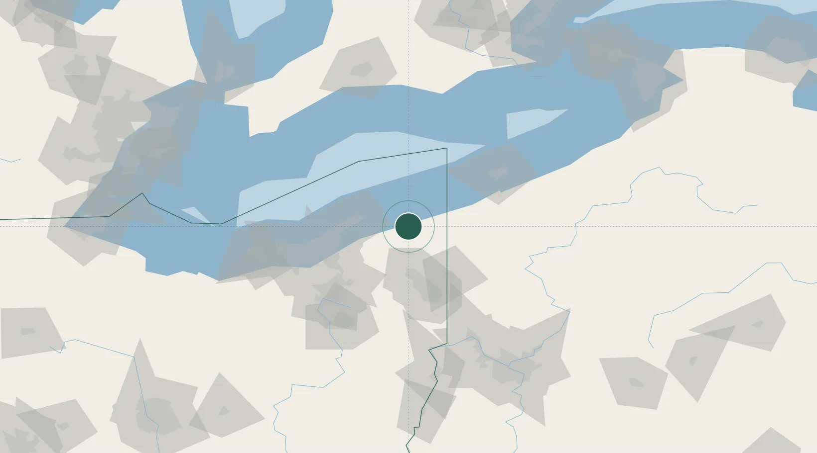
Rock Creek
41.6500°, -80.8500°
515
Population
1
Transport functions
Transport Functions
Port
Hub Profile
Place type
Populated place
Region
Ohio
Population
515
Time zone
America/New_York
Elevation
245 m
Location
Nearby Logistics Neighbours
Cities
- 1Thompson17 km
- 2Saybrook21 km
- 3Mesopotamia22 km
- 4Andover24 km
- 5Middlefield29 km
Airports
Trade Zones
- 1FTZ No. 247 Erie80 km
- 2FTZ No. 040 Cleveland85 km
- 3FTZ No. 181 Akron Canton107 km
- 4FTZ No. 033 Pittsburgh151 km
- 5FTZ No. 254 Jefferson County177 km
DatabookThe Record of Consolidated Knowledge
United States beyond logistics?