Transport Functions
Road
Multimodal
Hub Profile
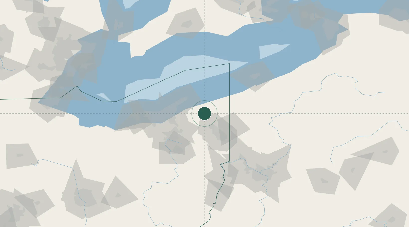
Place type
Populated place
Region
Ohio
Time zone
America/New_York
Elevation
261 m
Location
Nearby Logistics Neighbours
Cities
- 1Middlefield10 km
- 2Rock Creek22 km
- 3Thompson26 km
- 4Johnston27 km
- 5Mantua30 km
Airports
Trade Zones
- 1FTZ No. 040 Cleveland75 km
- 2FTZ No. 181 Akron Canton87 km
- 3FTZ No. 247 Erie101 km
- 4FTZ No. 033 Pittsburgh138 km
- 5FTZ No. 254 Jefferson County184 km
DatabookThe Record of Consolidated Knowledge
United States beyond logistics?