Transport Functions
Port
Road
Hub Profile
Place type
Populated place
Region
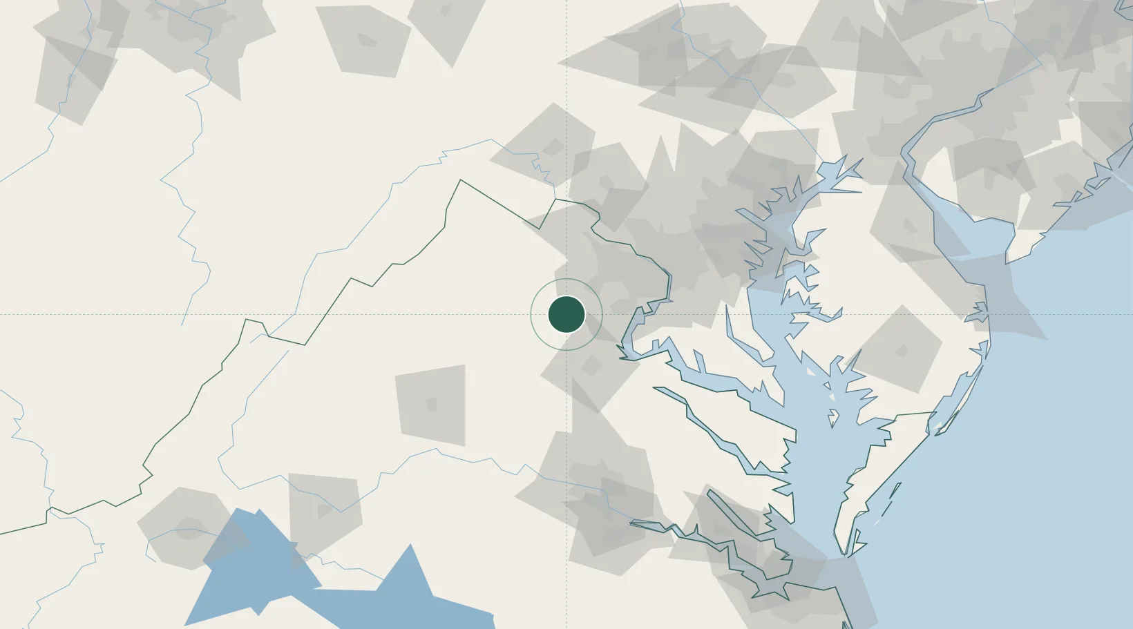
Virginia
Population
239
Time zone
America/New_York
Elevation
79 m
Location
Nearby Logistics Neighbours
Cities
- 1Midland6 km
- 2Nokesville11 km
- 3Marshall15 km
- 4Gainesville19 km
- 5Elkwood21 km
Ports
- 1Fredericksburg40 km
- 2Alexandria59 km
- 3Washington D.C.62 km
- 4Annapolis110 km
- 5Solomons Island111 km
Airports
Trade Zones
DatabookThe Record of Consolidated Knowledge
United States beyond logistics?