UN/LOCODE hub · United States
USQNV
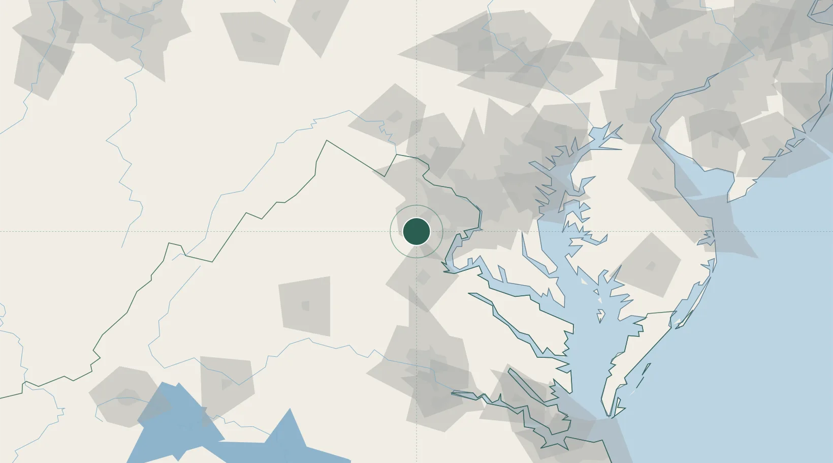
Nokesville
38.6833°, -77.5667°
1,354
Population
4
Transport functions
Transport Functions
Port
Rail
Road
Multimodal
Hub Profile
Place type
Populated place
Region
Virginia
Population
1,354
Time zone
America/New_York
Elevation
81 m
Location
Nearby Logistics Neighbours
Cities
- 1Marshall10 km
- 2Calverton11 km
- 3Gainesville12 km
- 4Midland17 km
- 5Triangle25 km
Ports
- 1Fredericksburg44 km
- 2Alexandria48 km
- 3Washington D.C.51 km
- 4Annapolis100 km
- 5Solomons Island105 km
Airports
Trade Zones
DatabookThe Record of Consolidated Knowledge
United States beyond logistics?