Transport Functions
Rail
Road
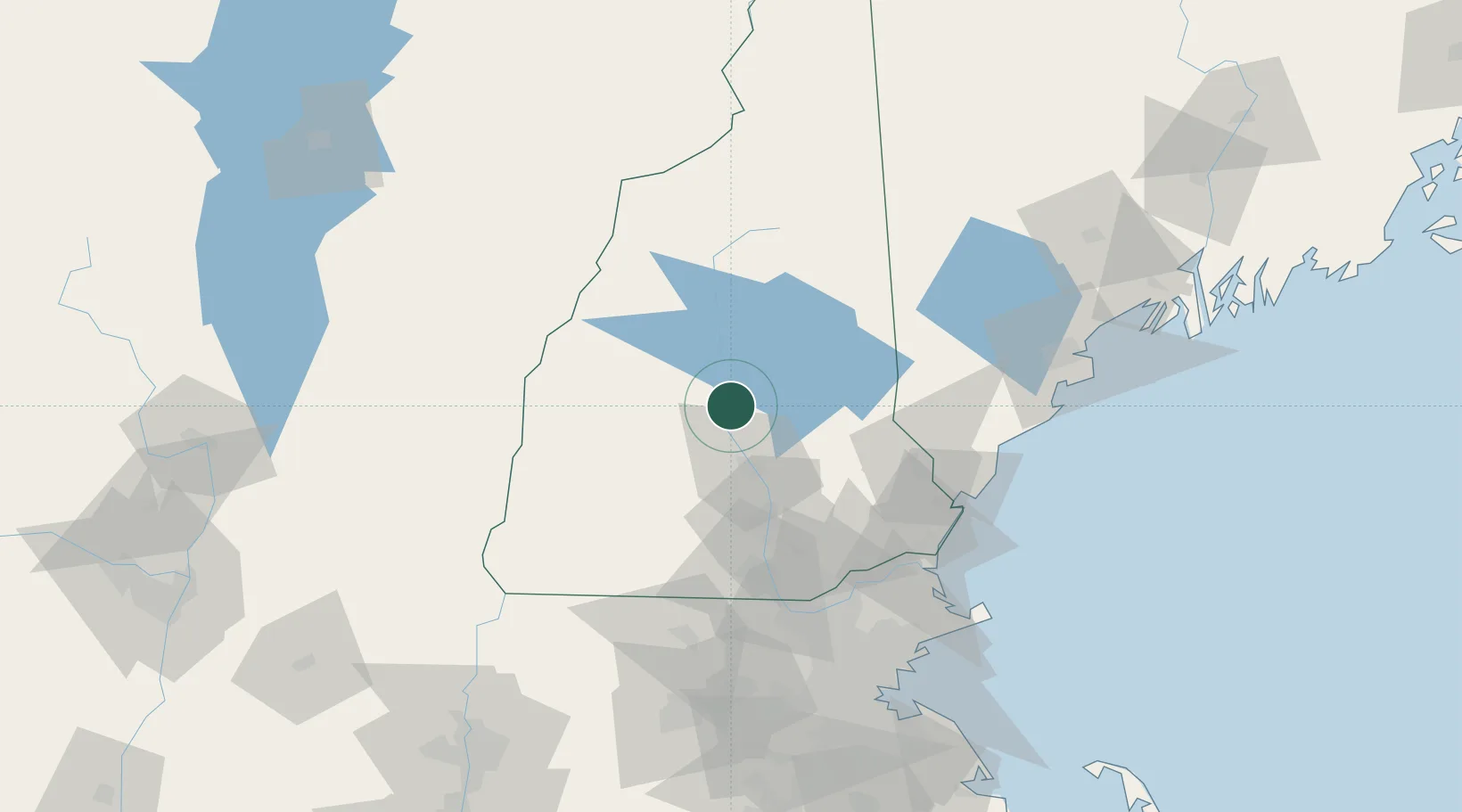
Hub Profile
Place type
Populated place
Region
New Hampshire
Population
3,612
Time zone
America/New_York
Elevation
139 m
Location
Nearby Logistics Neighbours
Cities
- 1Northfield2 km
- 2Sanbornton5 km
- 3Boscawen17 km
- 4Gilford19 km
- 5Loudon21 km
Ports
- 1Portsmouth80 km
- 2Kennebunkport92 km
- 3Newburyport92 km
- 4Saco93 km
- 5Portland111 km
Airports
Trade Zones
- 1FTZ No. 081 Portsmouth75 km
- 2FTZ No. 268 Brattleboro104 km
- 3FTZ No. 027 Boston132 km
- 4FTZ No. 263 Auburn133 km
- 5FTZ No. 201 Holyoke164 km
DatabookThe Record of Consolidated Knowledge
United States beyond logistics?