UN/LOCODE hub · United States
USOSE
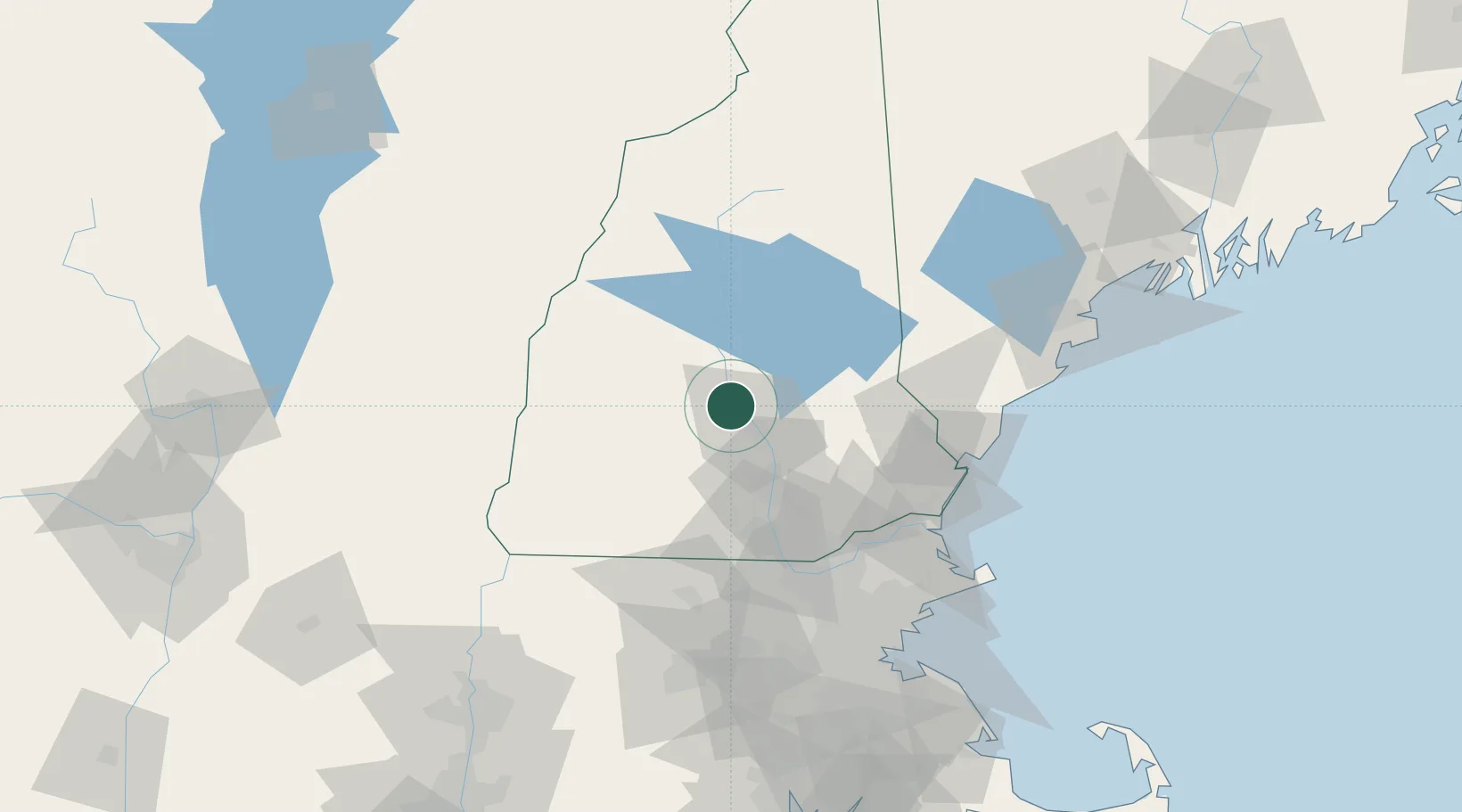
Boscawen
43.3000°, -71.6167°
3,911
Population
2
Transport functions
Transport Functions
Rail
Road
Hub Profile
Place type
Populated place
Region
New Hampshire
Population
3,911
Time zone
America/New_York
Elevation
97 m
Location
Nearby Logistics Neighbours
Cities
- 1Loudon12 km
- 2Northfield15 km
- 3Tilton17 km
- 4Bow Center19 km
- 5Sanbornton21 km
Ports
- 1Portsmouth74 km
- 2Newburyport81 km
- 3Kennebunkport93 km
- 4Saco97 km
- 5Beverly104 km
Airports
Trade Zones
- 1FTZ No. 081 Portsmouth68 km
- 2FTZ No. 268 Brattleboro94 km
- 3FTZ No. 027 Boston117 km
- 4FTZ No. 263 Auburn144 km
- 5FTZ No. 201 Holyoke149 km
DatabookThe Record of Consolidated Knowledge
United States beyond logistics?