UN/LOCODE hub · United States
USQQF
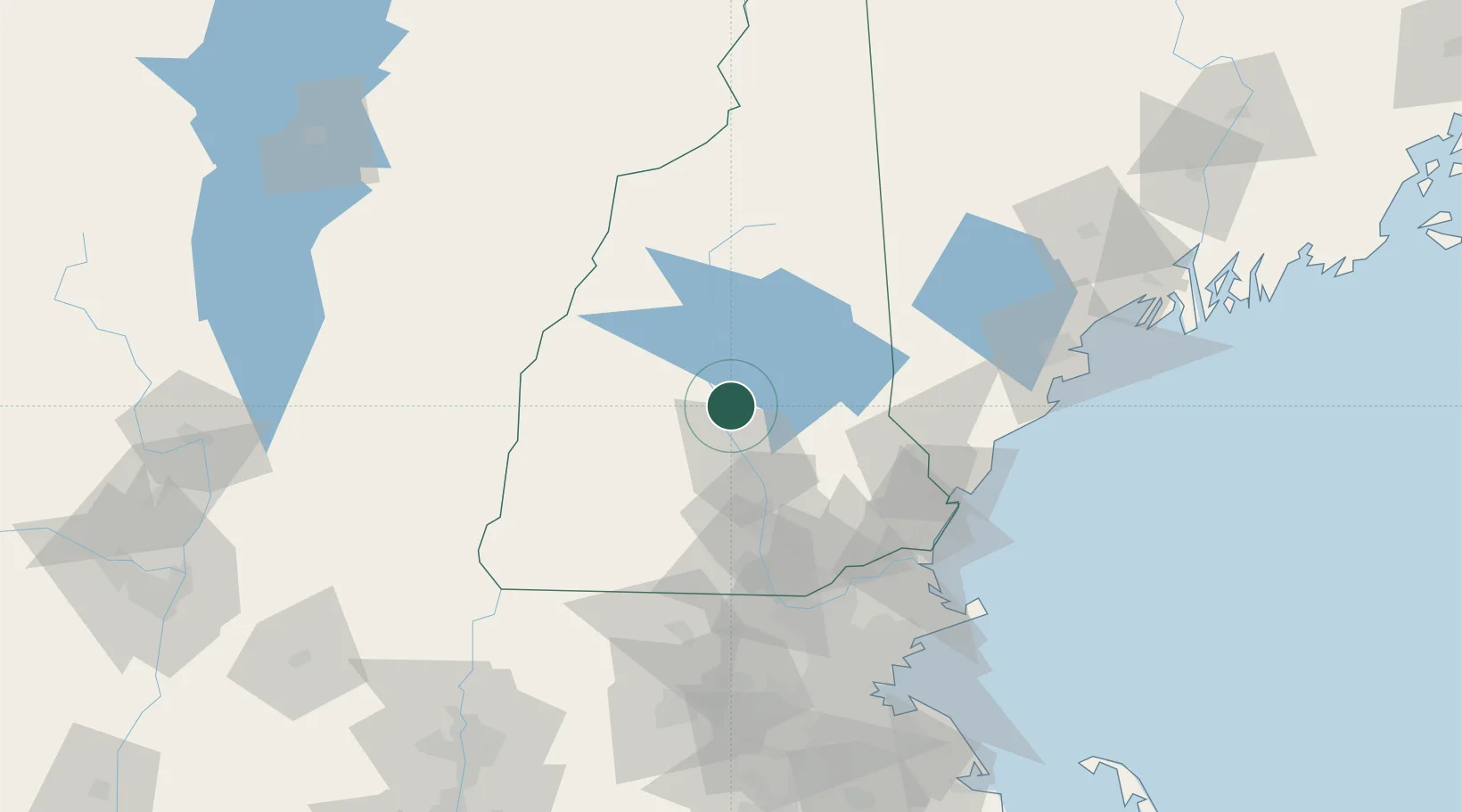
Northfield
43.4333°, -71.5833°
5,049
Population
1
Transport functions
Transport Functions
Multimodal
Hub Profile
Place type
Populated place
Region
New Hampshire
Population
5,049
Time zone
America/New_York
Elevation
132 m
Location
Nearby Logistics Neighbours
Cities
- 1Tilton2 km
- 2Sanbornton6 km
- 3Boscawen15 km
- 4Gilford19 km
- 5Loudon19 km
Ports
- 1Portsmouth78 km
- 2Newburyport90 km
- 3Kennebunkport91 km
- 4Saco92 km
- 5Portland111 km
Airports
Trade Zones
- 1FTZ No. 081 Portsmouth73 km
- 2FTZ No. 268 Brattleboro104 km
- 3FTZ No. 027 Boston130 km
- 4FTZ No. 263 Auburn133 km
- 5FTZ No. 201 Holyoke163 km
DatabookThe Record of Consolidated Knowledge
United States beyond logistics?