UN/LOCODE hub · United States
USSZ2
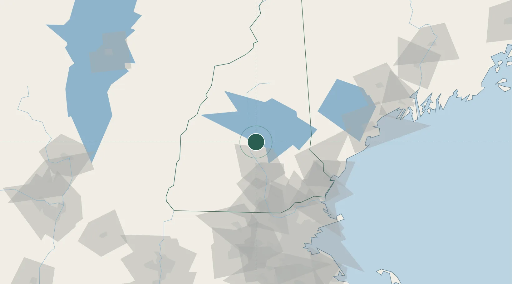
Sanbornton
43.4833°, -71.5667°
2,749
Population
2
Transport functions
Transport Functions
Road
Multimodal
Hub Profile
Place type
Populated place
Region
New Hampshire
Population
2,749
Time zone
America/New_York
Elevation
244 m
Location
Nearby Logistics Neighbours
Cities
- 1Tilton5 km
- 2Northfield6 km
- 3Gilford14 km
- 4Boscawen21 km
- 5Meredith21 km
Ports
- 1Portsmouth80 km
- 2Kennebunkport90 km
- 3Saco90 km
- 4Newburyport93 km
- 5Portland108 km
Airports
Trade Zones
- 1FTZ No. 081 Portsmouth75 km
- 2FTZ No. 268 Brattleboro109 km
- 3FTZ No. 263 Auburn129 km
- 4FTZ No. 027 Boston135 km
- 5FTZ No. 201 Holyoke168 km
DatabookThe Record of Consolidated Knowledge
United States beyond logistics?