Transport Functions
Road
Multimodal
Hub Profile
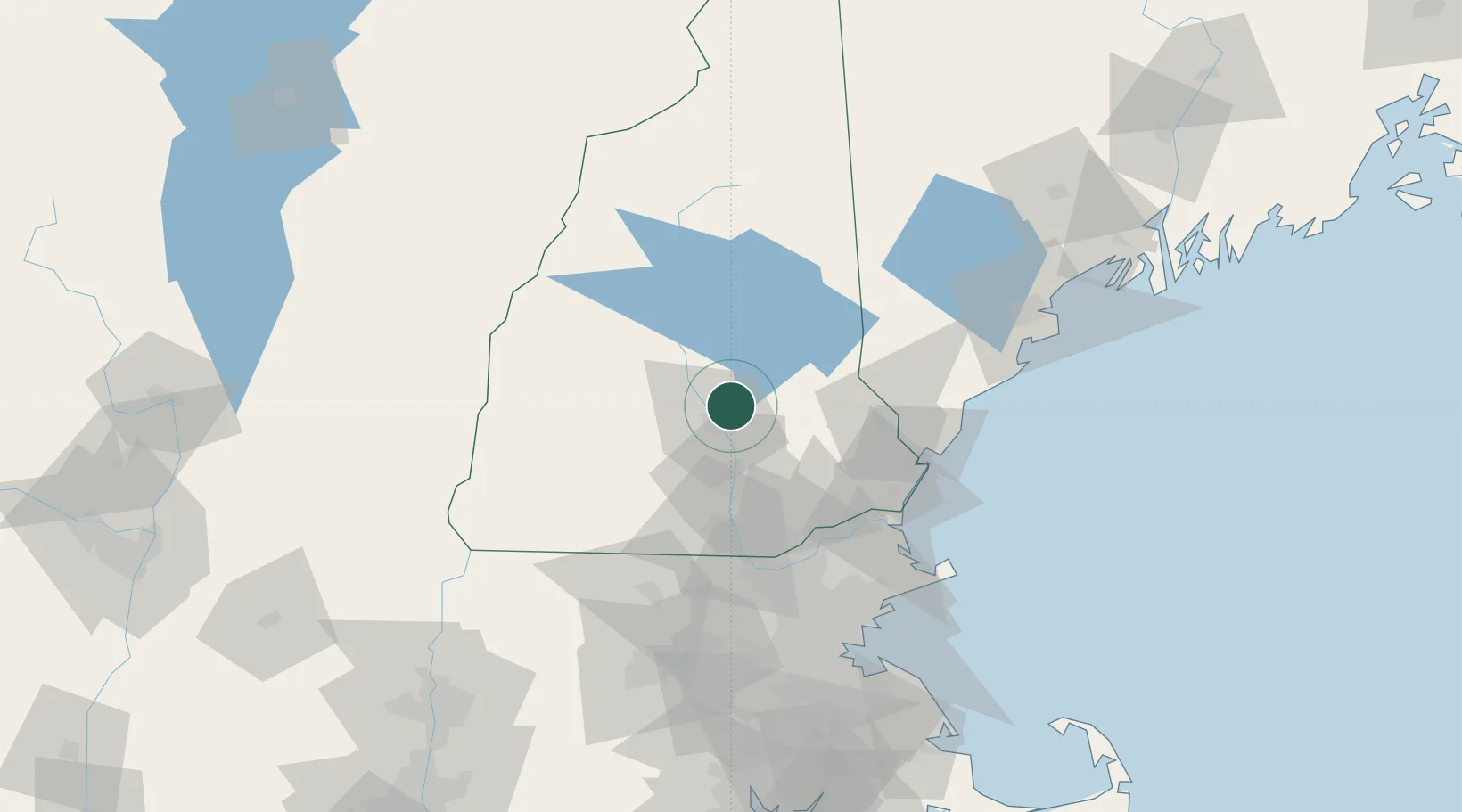
Place type
Populated place
Region
New Hampshire
Population
559
Time zone
America/New_York
Elevation
116 m
Location
Nearby Logistics Neighbours
Cities
- 1Pittsfield12 km
- 2Boscawen12 km
- 3Allenstown17 km
- 4Pembroke17 km
- 5Bow Center19 km
Ports
- 1Portsmouth62 km
- 2Newburyport71 km
- 3Kennebunkport81 km
- 4Saco86 km
- 5Beverly96 km
Airports
Trade Zones
- 1FTZ No. 081 Portsmouth56 km
- 2FTZ No. 268 Brattleboro104 km
- 3FTZ No. 027 Boston112 km
- 4FTZ No. 263 Auburn136 km
- 5FTZ No. 201 Holyoke156 km
DatabookThe Record of Consolidated Knowledge
United States beyond logistics?