Transport Functions
Rail
Road
Hub Profile
Place type
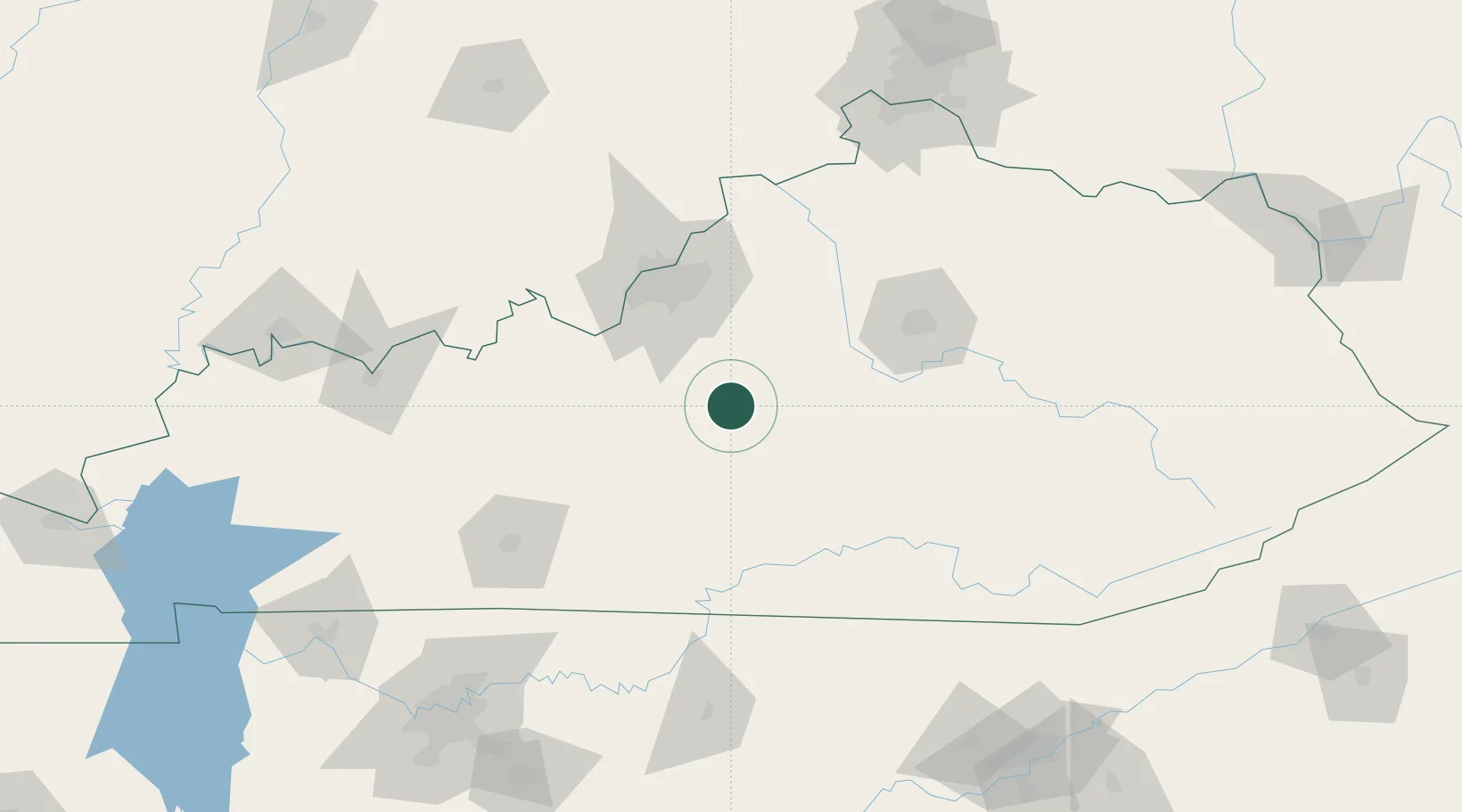
Populated place
Region
Kentucky
Population
722
Time zone
America/New_York
Elevation
225 m
Location
Nearby Logistics Neighbours
Cities
- 1Springfield17 km
- 2Elk Horn39 km
- 3Sonora45 km
- 4Beaver Dam52 km
- 5Liberty54 km
Ports
- 1Gary473 km
- 2Michigan City474 km
- 3Port Clinton481 km
- 4Indiana Harbor481 km
- 5Toledo482 km
Airports
Trade Zones
- 1FTZ No. 029 Louisville79 km
- 2FTZ No. 047 Boone County154 km
- 3FTZ No. 046 CIncinnati180 km
- 4FTZ No. 177 Evansville199 km
- 5FTZ No. 148 Knoxville211 km
DatabookThe Record of Consolidated Knowledge
United States beyond logistics?