Transport Functions
Rail
Road
Hub Profile
Place type
Populated place
Region
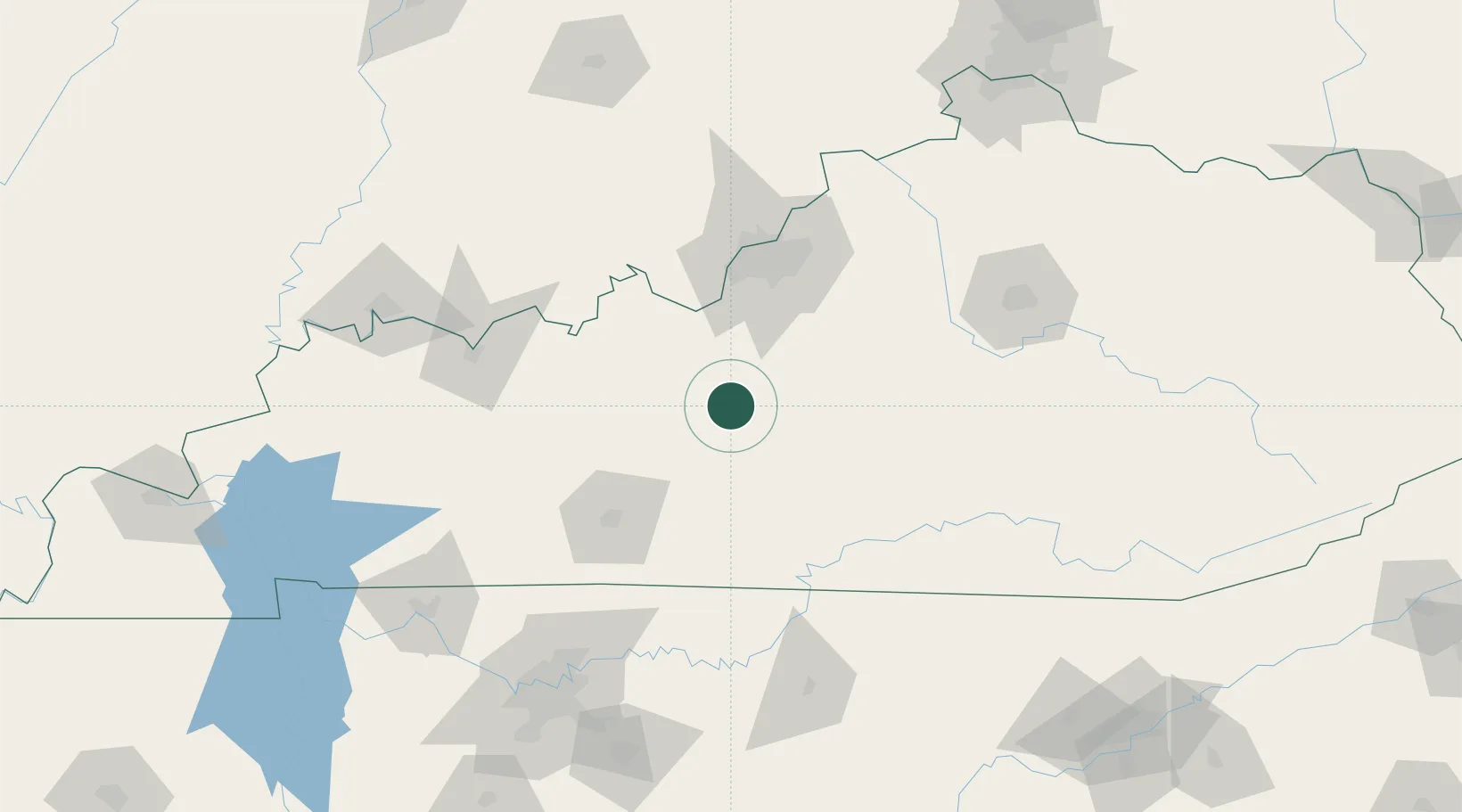
Kentucky
Population
487
Time zone
America/New_York
Elevation
221 m
Location
Nearby Logistics Neighbours
Cities
- 1Munfordville28 km
- 2Leitchfield36 km
- 3Cave City43 km
- 4Loretto45 km
- 5Millwood45 km
Ports
- 1Gary473 km
- 2Michigan City477 km
- 3Indiana Harbor480 km
- 4Calumet Harbor489 km
- 5Chicago507 km
Airports
Trade Zones
- 1FTZ No. 029 Louisville84 km
- 2FTZ No. 177 Evansville161 km
- 3FTZ No. 078 Nashville182 km
- 4FTZ No. 047 Boone County183 km
- 5FTZ No. 046 CIncinnati213 km
DatabookThe Record of Consolidated Knowledge
United States beyond logistics?