UN/LOCODE hub · United States
USRNF
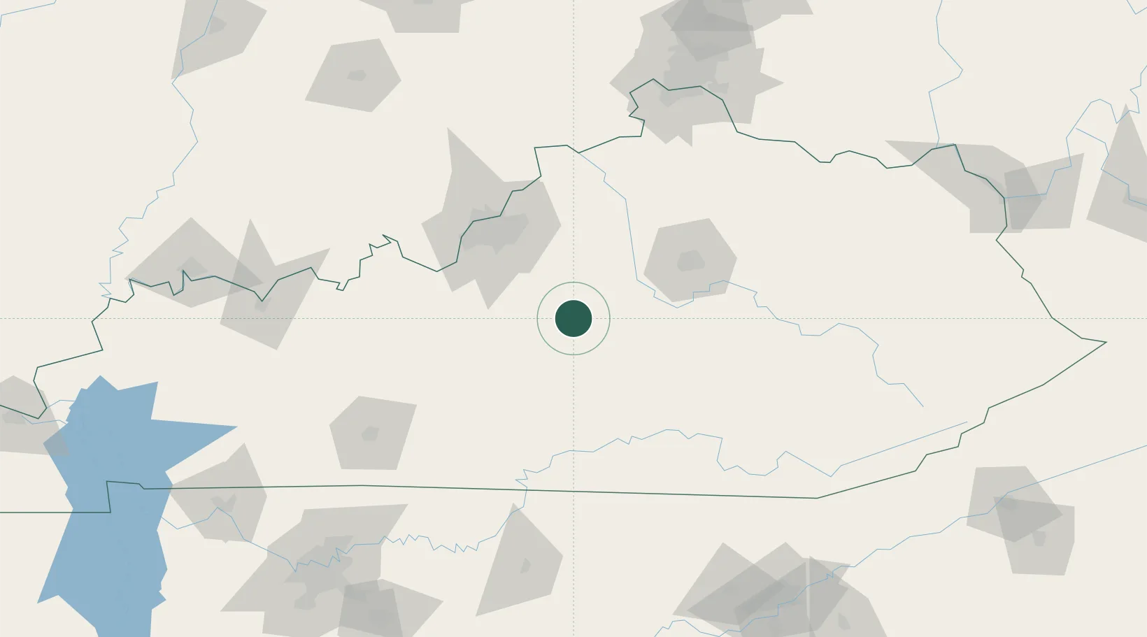
Springfield
37.6833°, -85.2167°
3,055
Population
3
Transport functions
Transport Functions
Rail
Road
Multimodal
Hub Profile
Place type
Provincial seat
Region
Kentucky
Population
3,055
Time zone
America/New_York
Elevation
234 m
Location
Nearby Logistics Neighbours
Cities
- 1Loretto17 km
- 2Elk Horn43 km
- 3Beaver Dam43 km
- 4Liberty48 km
- 5Stanford53 km
Ports
- 1Port Clinton469 km
- 2Sandusky470 km
- 3Toledo471 km
- 4Huron472 km
- 5Michigan City473 km
Airports
Trade Zones
- 1FTZ No. 029 Louisville83 km
- 2FTZ No. 047 Boone County145 km
- 3FTZ No. 046 CIncinnati169 km
- 4FTZ No. 148 Knoxville208 km
- 5FTZ No. 177 Evansville213 km
DatabookThe Record of Consolidated Knowledge
United States beyond logistics?