UN/LOCODE hub · United States
USBD3
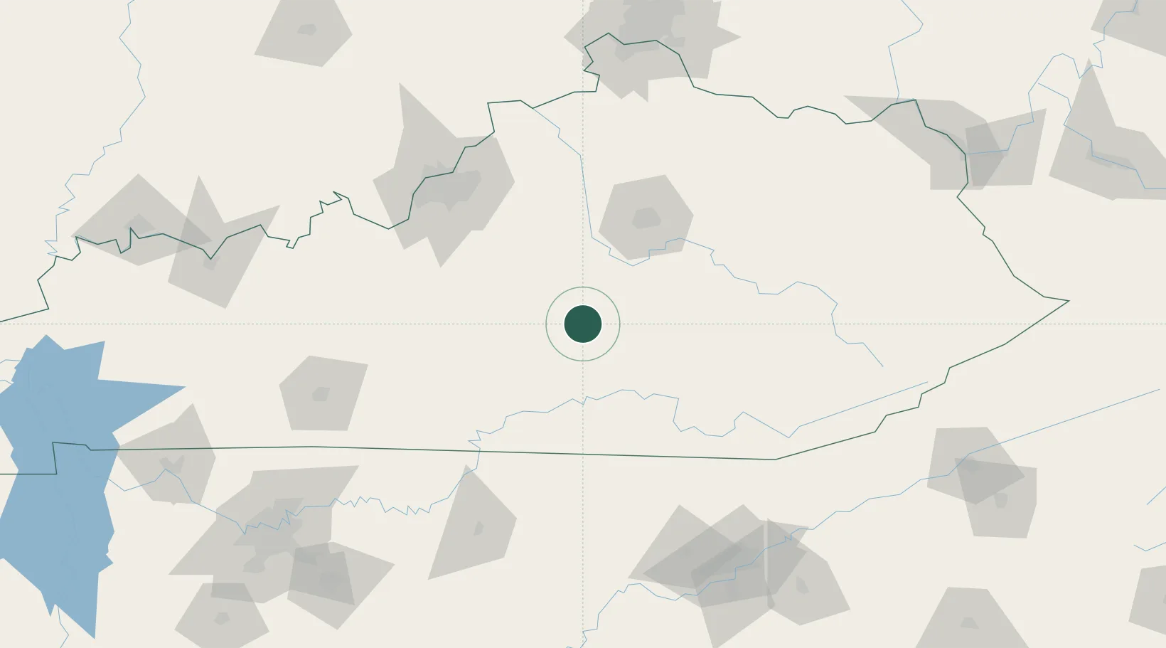
Beaver Dam
37.4000°, -84.8833°
3,618
Population
3
Transport functions
Transport Functions
Port
Rail
Road
Hub Profile
Place type
Populated place
Region
Kentucky
Population
3,618
Time zone
America/Chicago
Elevation
125 m
Location
Nearby Logistics Neighbours
Cities
- 1Liberty10 km
- 2Stanford24 km
- 3Dunnville25 km
- 4Science Hill34 km
- 5Elk Horn37 km
Ports
- 1Sandusky487 km
- 2Port Clinton487 km
- 3Huron488 km
- 4Toledo493 km
- 5Vermilion498 km
Airports
Trade Zones
- 1FTZ No. 029 Louisville126 km
- 2FTZ No. 148 Knoxville168 km
- 3FTZ No. 047 Boone County174 km
- 4FTZ No. 046 CIncinnati192 km
- 5FTZ No. 078 Nashville237 km
DatabookThe Record of Consolidated Knowledge
United States beyond logistics?