Transport Functions
Port
Road
Hub Profile
Place type
Populated place
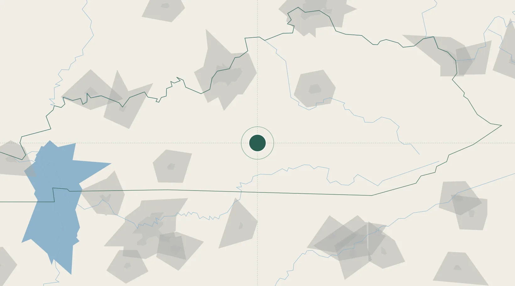
Region
Kentucky
Time zone
America/New_York
Elevation
224 m
Location
Nearby Logistics Neighbours
Cities
- 1Dunnville27 km
- 2Liberty31 km
- 3Beaver Dam37 km
- 4Loretto39 km
- 5Springfield43 km
Ports
- 1Port Clinton510 km
- 2Gary511 km
- 3Sandusky511 km
- 4Michigan City512 km
- 5Huron513 km
Airports
Trade Zones
- 1FTZ No. 029 Louisville117 km
- 2FTZ No. 148 Knoxville174 km
- 3FTZ No. 047 Boone County188 km
- 4FTZ No. 078 Nashville201 km
- 5FTZ No. 046 CIncinnati211 km
DatabookThe Record of Consolidated Knowledge
United States beyond logistics?