UN/LOCODE hub · United States
USEVP
Seven Points
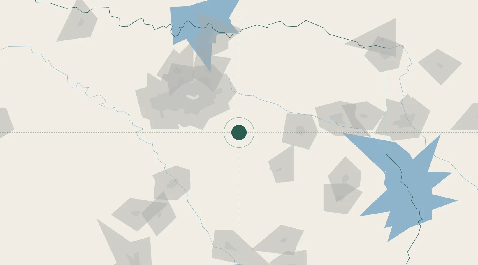
32.3167°, -96.2000°
1,447
Population
2
Transport functions
Transport Functions
Road
Multimodal
Hub Profile
Place type
Populated place
Region
Texas
Population
1,447
Time zone
America/Chicago
Elevation
117 m
Location
Nearby Logistics Neighbours
Cities
- 1Mabank11 km
- 2Malakoff25 km
- 3Kaufman33 km
- 4Canton40 km
- 5Wills Point47 km
Airports
Trade Zones
- 1FTZ No. 269 Athens32 km
- 2FTZ No. 113 Ellis County77 km
- 3FTZ No. 234 Gregg County122 km
- 4FTZ No. 246 Waco131 km
- 5FTZ No. 168 Dallas Fort Worth133 km
DatabookThe Record of Consolidated Knowledge
United States beyond logistics?