UN/LOCODE hub · United States
USMKF
Malakoff
32.1667°, -96.0000°
2,296
Population
2
Transport functions
Transport Functions
Road
Multimodal
Hub Profile
Place type
Populated place
Region
Texas
Population
2,296
Time zone
America/Chicago
Elevation
114 m
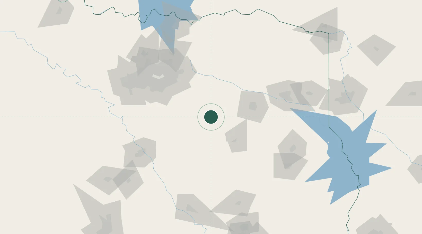
Location
Nearby Logistics Neighbours
Cities
- 1Mabank24 km
- 2Seven Points25 km
- 3Tennessee Colony40 km
- 4Canton44 km
- 5Van52 km
Airports
Trade Zones
- 1FTZ No. 269 Athens11 km
- 2FTZ No. 113 Ellis County97 km
- 3FTZ No. 234 Gregg County108 km
- 4FTZ No. 246 Waco137 km
- 5FTZ No. 297 Lufkin148 km
DatabookThe Record of Consolidated Knowledge
United States beyond logistics?