UN/LOCODE hub · United States
USTIW
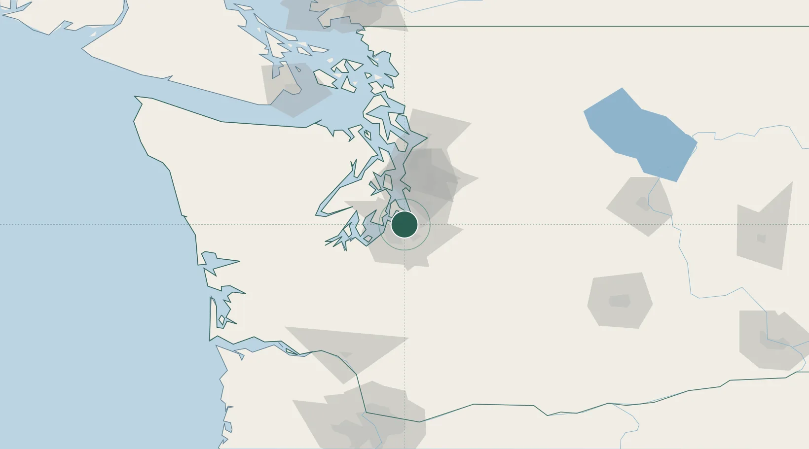
Tacoma
47.2770°, -122.3909°
222,906
Population
2
Transport functions
4
Container terminals
Transport Functions
Port
Airport
Hub Profile
Place type
Provincial seat
Region
Washington
Population
222,906
Time zone
America/Los_Angeles
Elevation
74 m
Logistics facilities
51
Container terminals
4
Location
Nearby Logistics Neighbours
Cities
- 1Fife5 km
- 2Des Moines15 km
- 3Vashon Island17 km
- 4McChord Air Force Base18 km
- 5Bonney Lake20 km
Ports
- 1Port Orchard34 km
- 2Seattle36 km
- 3Bremerton38 km
- 4Olympia46 km
- 5Silverdale48 km
Airports
Trade Zones
- 1FTZ No. 086 Tacoma2 km
- 2FTZ No. 212 Tacoma11 km
- 3FTZ No. 005 Seattle38 km
- 4FTZ No. 216 Olympia49 km
- 5FTZ No. 085 Everett82 km
DatabookThe Record of Consolidated Knowledge
United States beyond logistics?