UN/LOCODE hub · United States
USDSN
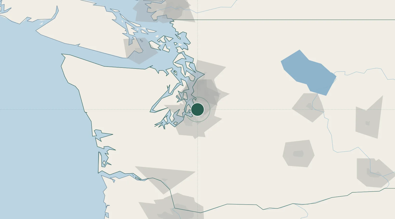
Des Moines
47.4000°, -122.3167°
31,221
Population
2
Transport functions
Transport Functions
Road
Multimodal
Hub Profile
Place type
Populated place
Region
Washington
Population
31,221
Time zone
America/Los_Angeles
Elevation
28 m
Location
Nearby Logistics Neighbours
Cities
- 1Burien8 km
- 2Vashon Island11 km
- 3Tacoma15 km
- 4Seattle16 km
- 5Boeing Field Apt16 km
Ports
- 1Tacoma15 km
- 2Seattle22 km
- 3Port Orchard28 km
- 4Bremerton31 km
- 5Silverdale40 km
Airports
Trade Zones
- 1FTZ No. 086 Tacoma17 km
- 2FTZ No. 212 Tacoma23 km
- 3FTZ No. 005 Seattle27 km
- 4FTZ No. 216 Olympia61 km
- 5FTZ No. 085 Everett67 km
DatabookThe Record of Consolidated Knowledge
United States beyond logistics?