UN/LOCODE hub · United States
USGQZ
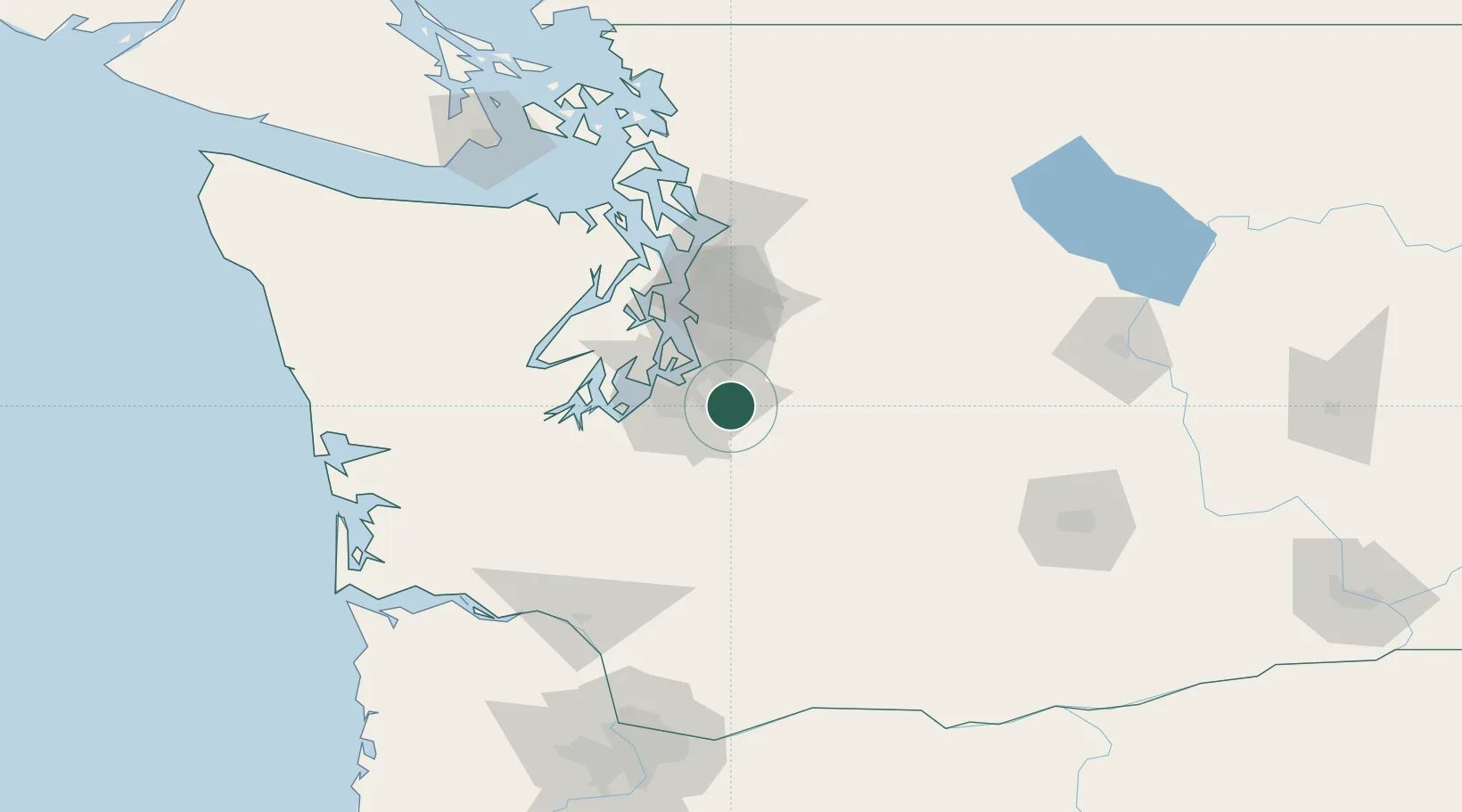
Bonney Lake
47.1667°, -122.1833°
19,903
Population
1
Transport functions
Transport Functions
Multimodal
Hub Profile
Place type
Populated place
Region
Washington
Population
19,903
Time zone
America/Los_Angeles
Elevation
175 m
Location
Nearby Logistics Neighbours
Cities
- 1South Prairie8 km
- 2Fife15 km
- 3Enumclaw17 km
- 4Tacoma20 km
- 5McChord Air Force Base24 km
Ports
- 1Tacoma22 km
- 2Seattle50 km
- 3Port Orchard53 km
- 4Olympia56 km
- 5Bremerton57 km
Airports
Trade Zones
- 1FTZ No. 086 Tacoma21 km
- 2FTZ No. 212 Tacoma28 km
- 3FTZ No. 005 Seattle55 km
- 4FTZ No. 216 Olympia58 km
- 5FTZ No. 085 Everett93 km
DatabookThe Record of Consolidated Knowledge
United States beyond logistics?