UN/LOCODE hub · United States
USTHJ
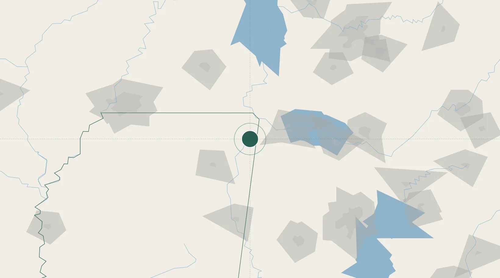
Tishomingo
34.6333°, -88.2167°
338
Population
2
Transport functions
Transport Functions
Rail
Road
Hub Profile
Place type
Populated place
Region
Mississippi
Population
338
Time zone
America/Chicago
Elevation
157 m
Location
Nearby Logistics Neighbours
Cities
- 1Iuka19 km
- 2Cherokee26 km
- 3Barton32 km
- 4Oakland41 km
- 5Centerville42 km
Ports
- 1Port Of Memphis184 km
- 2Mobile439 km
- 3Biloxi477 km
- 4Pascagoula477 km
- 5Pensacola480 km
Airports
Trade Zones
- 1FTZ No. 265 Conroe (Montgomery County)115 km
- 2FTZ No. 270 Lawrence County119 km
- 3FTZ No. 083 Huntsville133 km
- 4FTZ No. 262 Southaven170 km
- 5FTZ No. 098 Birmingham179 km
DatabookThe Record of Consolidated Knowledge
United States beyond logistics?