UN/LOCODE hub · United States
USAQT

Barton

34.7333°, -87.8833°
2
Transport functions

Transport Functions

Road
Multimodal
UN/LOCODE

Hub Profile

Place type
Populated place
GeoNames
Region
Alabama
GeoNames
Time zone
America/Chicago
GeoNames
Elevation
147 m
GeoNames

Location

Location of USAQT
Natural Earth 10m (public domain) · Alabama · USAQT · 34.73, -87.88GoogleOSMYandex

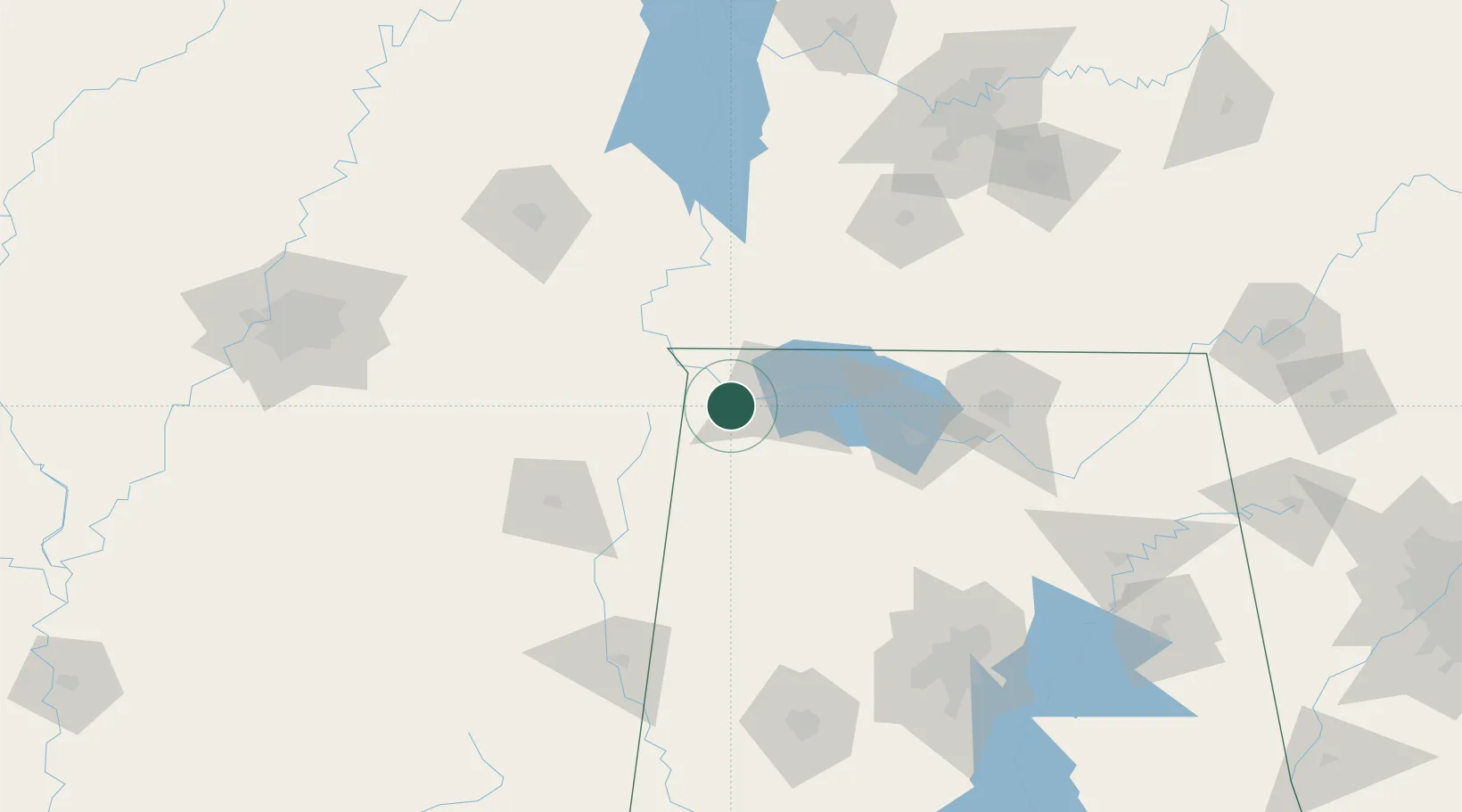
Nearby Logistics Neighbours

Cities
  1. 1Cherokee8 km
  2. 2Muscle Shoals20 km
  3. 3Florence21 km
  4. 4Iuka28 km
  5. 5Tishomingo32 km
Nearest neighbours — logibook spatial index (haversine) over the source coordinates
Ports
  1. 1Port Of Memphis212 km
  2. 2Mobile451 km
  3. 3Pensacola486 km
  4. 4Pascagoula492 km
  5. 5Biloxi493 km
Nearest neighbours — logibook spatial index (haversine) over the source coordinates
Airports
  1. 1Northwest Alabama Regional Airport25 km
  2. 2Tupelo Regional Airport96 km
  3. 3Huntsville International Airport102 km
  4. 4Redstone Army Air Field110 km
  5. 5Columbus Air Force Base132 km
Nearest neighbours — logibook spatial index (haversine) over the source coordinates
Trade Zones
  1. 1FTZ No. 265 Conroe (Montgomery County)85 km
  2. 2FTZ No. 270 Lawrence County89 km
  3. 3FTZ No. 083 Huntsville103 km
  4. 4FTZ No. 098 Birmingham167 km
  5. 5FTZ No. 078 Nashville178 km
Nearest neighbours — logibook spatial index (haversine) over the source coordinates
DatabookThe Record of Consolidated Knowledge
United States beyond logistics?
Browse databook

All Sources

LocationsUN/LOCODE
UN/LOCODE — free
Portsthe NGA World Port Index
Public domain (US gov)
AirportsOurAirports
Public domain
Trade Zonesthe World Bank SEZ database
CC BY 4.0
Trade ZonesOpen Zone Map
CC BY
← United States locations