UN/LOCODE hub · United States
USCKG
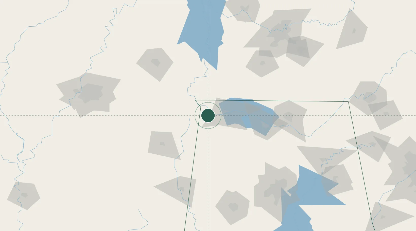
Cherokee
34.7500°, -87.9667°
1,014
Population
2
Transport functions
Transport Functions
Port
Road
Hub Profile
Place type
Populated place
Region
Alabama
Population
1,014
Time zone
America/Chicago
Elevation
163 m
Location
Nearby Logistics Neighbours
Cities
- 1Barton8 km
- 2Iuka21 km
- 3Tishomingo26 km
- 4Muscle Shoals28 km
- 5Florence28 km
Ports
- 1Port Of Memphis204 km
- 2Mobile452 km
- 3Pensacola489 km
- 4Pascagoula493 km
- 5Biloxi493 km
Airports
Trade Zones
- 1FTZ No. 265 Conroe (Montgomery County)93 km
- 2FTZ No. 270 Lawrence County97 km
- 3FTZ No. 083 Huntsville110 km
- 4FTZ No. 098 Birmingham173 km
- 5FTZ No. 078 Nashville179 km
DatabookThe Record of Consolidated Knowledge
United States beyond logistics?