Transport Functions
Port
Rail
Road
Multimodal
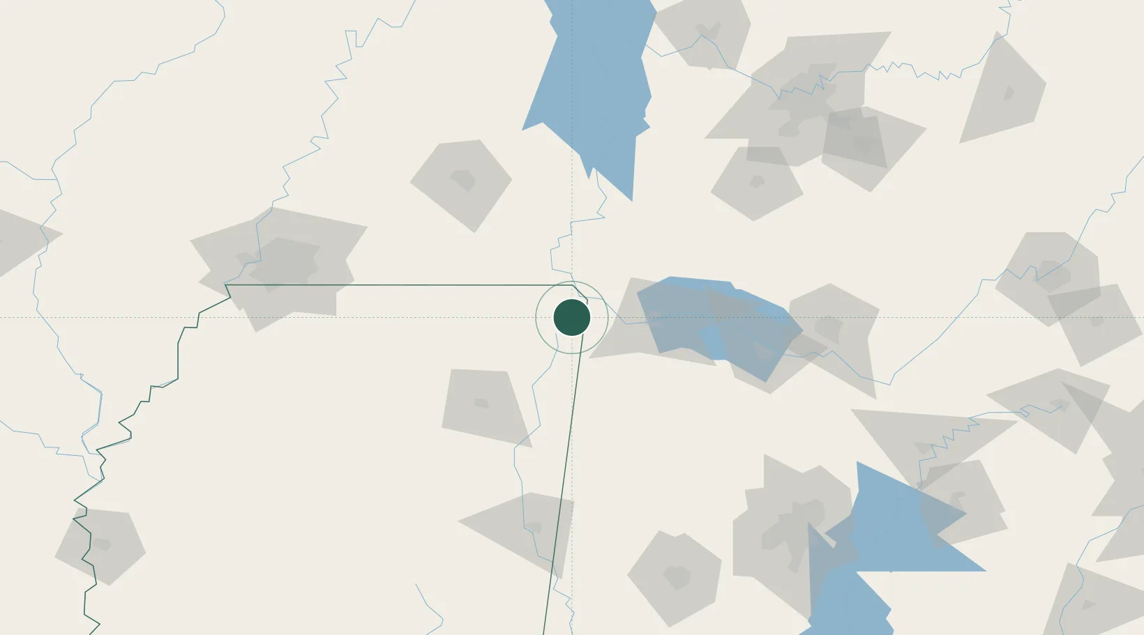
Hub Profile
Place type
Provincial seat
Region
Mississippi
Population
3,001
Time zone
America/Chicago
Elevation
171 m
Location
Nearby Logistics Neighbours
Cities
- 1Tishomingo19 km
- 2Cherokee21 km
- 3Barton28 km
- 4Savannah47 km
- 5Florence47 km
Ports
- 1Port Of Memphis183 km
- 2Mobile458 km
- 3Biloxi496 km
- 4Pascagoula496 km
- 5Pensacola498 km
Airports
Trade Zones
- 1FTZ No. 265 Conroe (Montgomery County)113 km
- 2FTZ No. 270 Lawrence County117 km
- 3FTZ No. 083 Huntsville131 km
- 4FTZ No. 262 Southaven170 km
- 5FTZ No. 283 West Tennessee172 km
DatabookThe Record of Consolidated Knowledge
United States beyond logistics?