Transport Functions
Road
Multimodal
Hub Profile
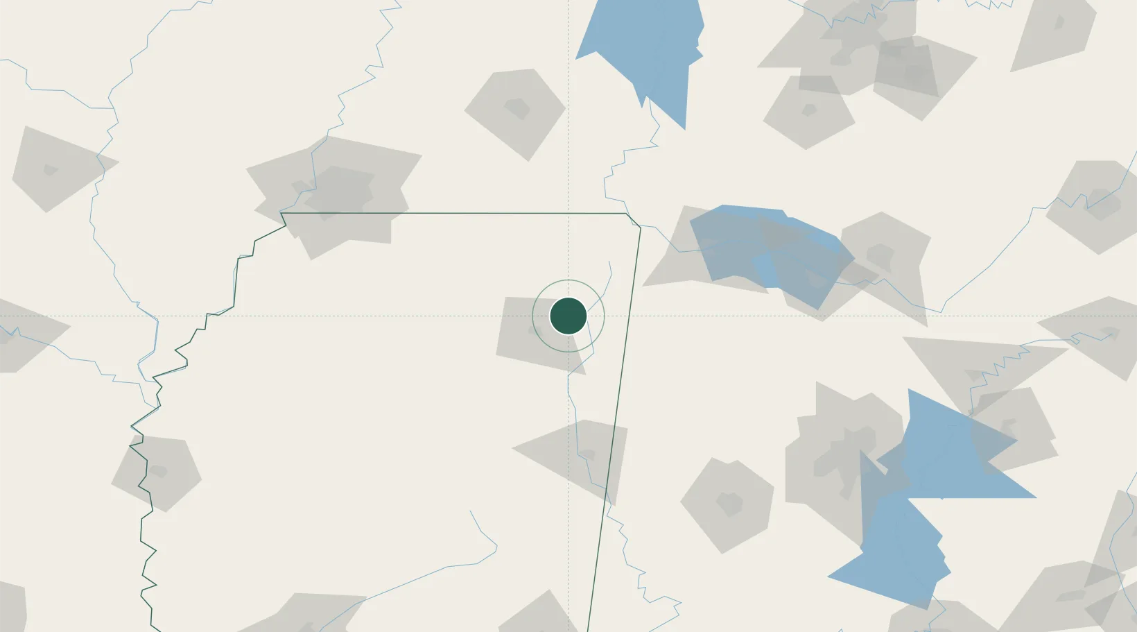
Place type
Populated place
Region
Mississippi
Time zone
America/Chicago
Elevation
110 m
Location
Nearby Logistics Neighbours
Cities
- 1Mantachie7 km
- 2Plantersville21 km
- 3Belden24 km
- 4Oakland31 km
- 5Furrs34 km
Ports
- 1Port Of Memphis168 km
- 2Mobile411 km
- 3Biloxi444 km
- 4Pascagoula447 km
- 5Gulfport450 km
Airports
Trade Zones
- 1FTZ No. 265 Conroe (Montgomery County)148 km
- 2FTZ No. 270 Lawrence County151 km
- 3FTZ No. 262 Southaven152 km
- 4FTZ No. 083 Huntsville165 km
- 5FTZ No. 223 Memphis167 km
DatabookThe Record of Consolidated Knowledge
United States beyond logistics?