Medium airport · United States
McKellar-Sipes Regional AirportKMKL
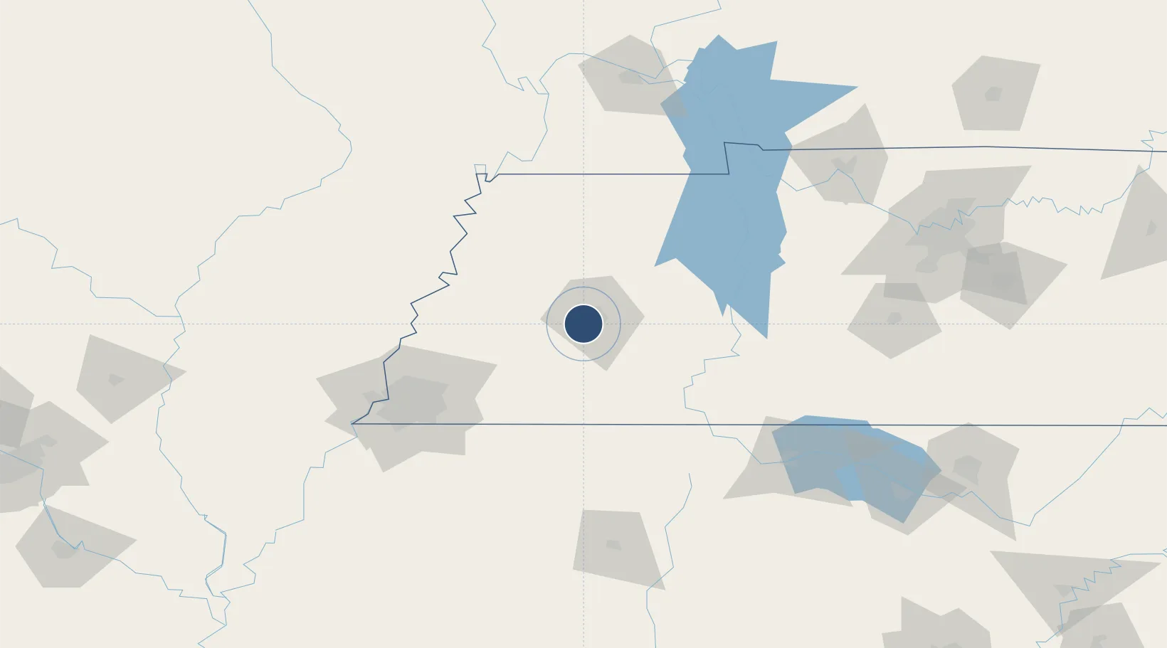
35.5999°, -88.9156°
6,005 ft
Longest runway
2
Runways
434 ft
Elevation
Runway & Layout

Radio Frequencies
ASOS
119.325 MHz
TWR
127.15 MHz
JACKSON TWR
GND
120.9 MHz
CTAF
127.15 MHz
CNTR
134.65 MHz
MEMPHIS CNTR
OPS
41.5 MHz
ARNG OPS
RDO
122.2 MHz
JACKSON RDO
UNIC
122.95 MHz
UNICOM
Navaids
MK NDB Mersy 394 kHz
MKL VOR-DME Mc Kellar 112.00 MHz
Runways · 2
| Runway | Dimensions | Surface | True heading | Lit |
|---|---|---|---|---|
| 02/20 | 6,005 × 150ft | Asphalt | 022° | ✓ |
| 11/29 | 3,539 × 100ft | Asphalt | 112° | ✓ |
Airport Specifications
IATA code
MKL
ICAO code
KMKL
Airport class
Medium airport
Scheduled service
Yes
Runway surface
Asphalt
Served city
Jackson
Location
Nearby Logistics Neighbours
Airports
- 1Millington-Memphis Airport91 km
- 2Arkansas International Airport101 km
- 3Memphis International Airport114 km
- 4University Oxford Airport147 km
- 5Tupelo Regional Airport149 km
Ports
- 1Port Of Memphis128 km
- 2Mobile552 km
- 3Biloxi580 km
- 4Gulfport584 km
- 5Pascagoula585 km
Trade Zones
- 1FTZ No. 283 West Tennessee70 km
- 2FTZ No. 223 Memphis120 km
- 3FTZ No. 262 Southaven125 km
- 4FTZ No. 273 West Memphis126 km
- 5FTZ No. 077 Memphis132 km
DatabookThe Record of Consolidated Knowledge
United States beyond logistics?