Transport Functions
Multimodal
Hub Profile
Place type
Populated place
Region
Mississippi
Time zone
America/Chicago
Elevation
123 m
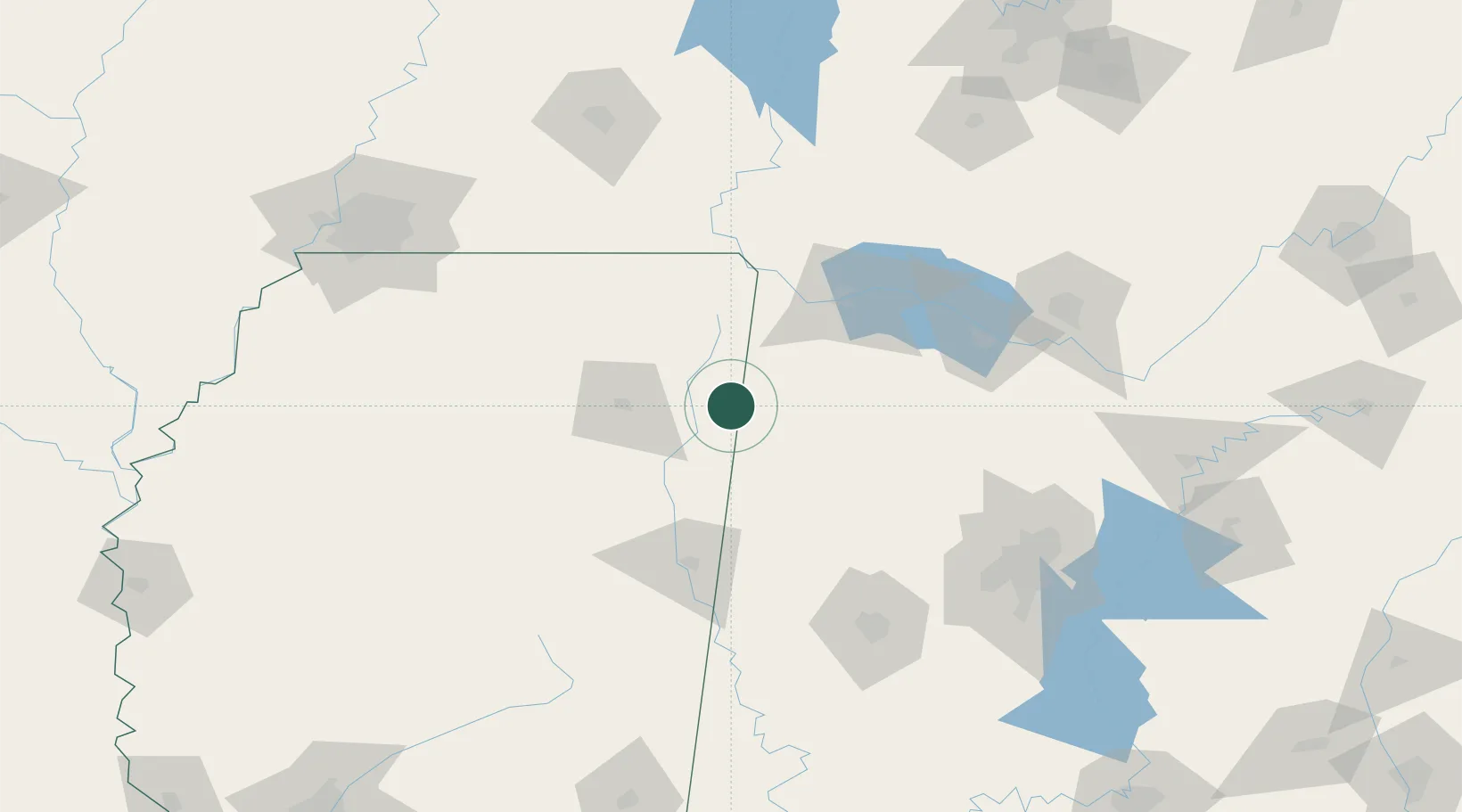
Location
Nearby Logistics Neighbours
Cities
- 1Mantachie25 km
- 2Detroit28 km
- 3Centerville31 km
- 4Hackleburg35 km
- 5Plantersville41 km
Ports
- 1Port Of Memphis199 km
- 2Mobile399 km
- 3Biloxi436 km
- 4Pascagoula437 km
- 5Pensacola440 km
Airports
Trade Zones
- 1FTZ No. 265 Conroe (Montgomery County)124 km
- 2FTZ No. 270 Lawrence County126 km
- 3FTZ No. 083 Huntsville139 km
- 4FTZ No. 098 Birmingham154 km
- 5FTZ No. 262 Southaven183 km
DatabookThe Record of Consolidated Knowledge
United States beyond logistics?