Medium airport · United States
Lake Tahoe AirportKTVL
38.8939°, -119.9950°
8,541 ft
Longest runway
1
Runways
6,264 ft
Elevation
Runway & Layout

Radio Frequencies
ASOS
124.725 MHz
CTAF
122.85 MHz
CNTR
127.95 MHz
OAKLAND CNTR
RDO
122.25 MHz
RENO RDO
UNIC
122.85 MHz
UNICOM
Runways · 1
| Runway | Dimensions | Surface | True heading | Lit |
|---|---|---|---|---|
| 18/36 | 8,541 × 100ft | Asphalt | 193° | ✓ |
Airport Specifications
IATA code
TVL
ICAO code
KTVL
Airport class
Medium airport
Scheduled service
No
Runway surface
Asphalt
Served city
South Lake Tahoe
Location
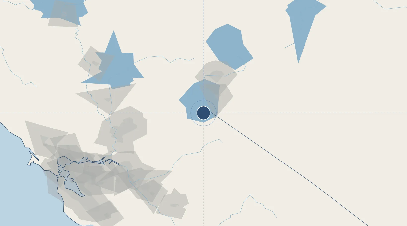
Nearby Logistics Neighbours
Airports
- 1Carson Airport40 km
- 2Truckee Tahoe Airport49 km
- 3Reno Tahoe International Airport70 km
- 4Sacramento Mather Airport119 km
- 5McClellan Airfield124 km
Cities
- 1Gardnerville22 km
- 2Olympic Valley35 km
- 3Incline Village40 km
- 4Mound House44 km
- 5Fair Play67 km
Ports
- 1Sacramento135 km
- 2Courtland150 km
- 3Walnut Grove151 km
- 4Stockton155 km
- 5Isleton161 km
Trade Zones
- 1FTZ No. 126 Sparks78 km
- 2FTZ No. 143 West Sacramento137 km
- 3FTZ No. 231 Stockton156 km
- 4FTZ No. 226 Merced, Madera and Fresno Counties182 km
- 5FTZ No. 056 Oakland233 km
DatabookThe Record of Consolidated Knowledge
United States beyond logistics?