Transport Functions
Port
Road
Hub Profile
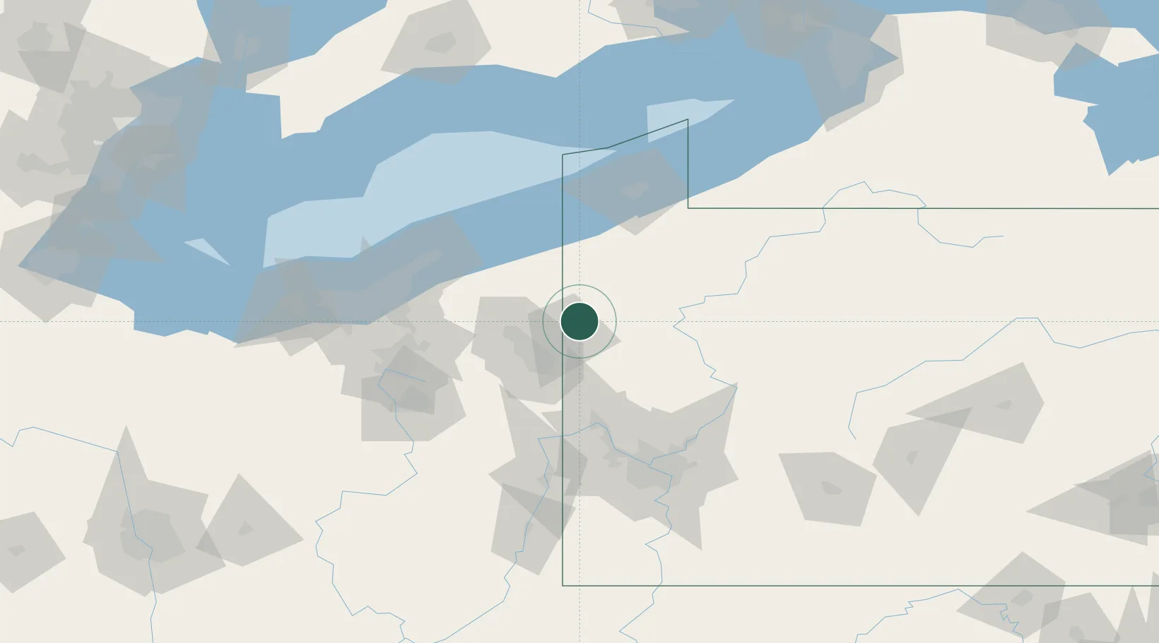
Place type
Populated place
Region
Pennsylvania
Time zone
America/New_York
Elevation
302 m
Location
Nearby Logistics Neighbours
Cities
- 1Sharpsville9 km
- 2Kinsman, Trumbull20 km
- 3Johnston21 km
- 4Pulaski, Lawrence22 km
- 5New Wilmington23 km
Airports
Trade Zones
- 1FTZ No. 247 Erie93 km
- 2FTZ No. 033 Pittsburgh103 km
- 3FTZ No. 181 Akron Canton118 km
- 4FTZ No. 040 Cleveland121 km
- 5FTZ No. 254 Jefferson County140 km
DatabookThe Record of Consolidated Knowledge
United States beyond logistics?