Transport Functions
Rail
Road
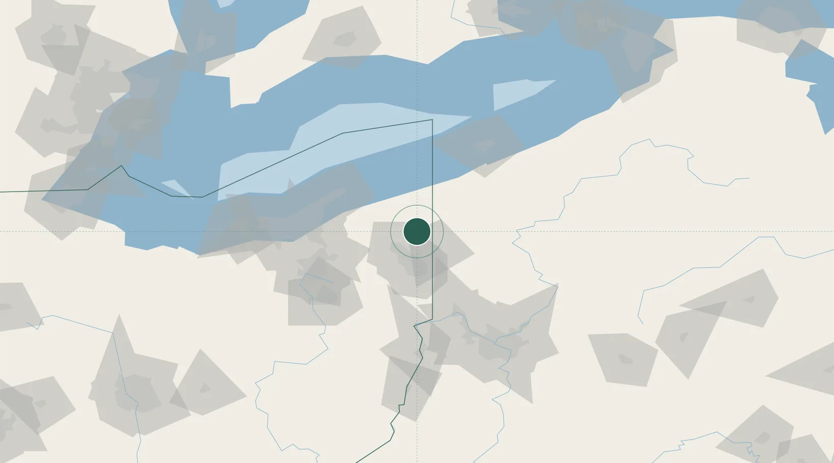
Hub Profile
Place type
Populated place
Region
Ohio
Time zone
America/New_York
Elevation
329 m
Location
Nearby Logistics Neighbours
Cities
- 1Kinsman, Trumbull9 km
- 2Transfer21 km
- 3Sharpsville21 km
- 4Andover25 km
- 5Mesopotamia27 km
Airports
Trade Zones
- 1FTZ No. 247 Erie93 km
- 2FTZ No. 040 Cleveland101 km
- 3FTZ No. 181 Akron Canton103 km
- 4FTZ No. 033 Pittsburgh117 km
- 5FTZ No. 254 Jefferson County159 km
DatabookThe Record of Consolidated Knowledge
United States beyond logistics?