Transport Functions
Road
Multimodal
Hub Profile
Region
OH
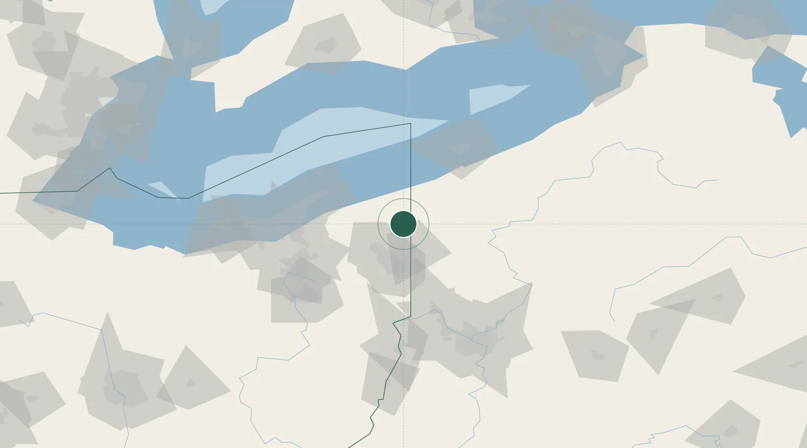
Location
Nearby Logistics Neighbours
Cities
- 1Johnston9 km
- 2Andover17 km
- 3Transfer20 km
- 4Sharpsville24 km
- 5Mesopotamia31 km
Airports
Trade Zones
- 1FTZ No. 247 Erie84 km
- 2FTZ No. 040 Cleveland105 km
- 3FTZ No. 181 Akron Canton111 km
- 4FTZ No. 033 Pittsburgh122 km
- 5FTZ No. 254 Jefferson County153 km
DatabookThe Record of Consolidated Knowledge
United States beyond logistics?