Transport Functions
Rail
Road
Hub Profile
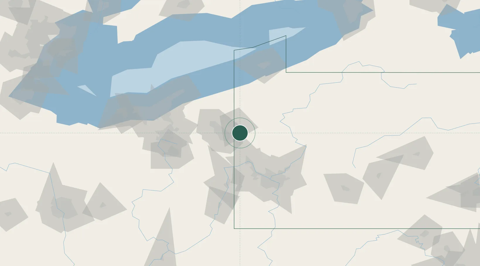
Region
PA
Location
Nearby Logistics Neighbours
Cities
- 1New Wilmington8 km
- 2Coaltown11 km
- 3Sharpsville15 km
- 4Volant16 km
- 5Poland18 km
Airports
Trade Zones
- 1FTZ No. 033 Pittsburgh83 km
- 2FTZ No. 181 Akron Canton111 km
- 3FTZ No. 247 Erie114 km
- 4FTZ No. 040 Cleveland125 km
- 5FTZ No. 295 Central Pennsylvania143 km
DatabookThe Record of Consolidated Knowledge
United States beyond logistics?