UN/LOCODE hub · United States
USNEU
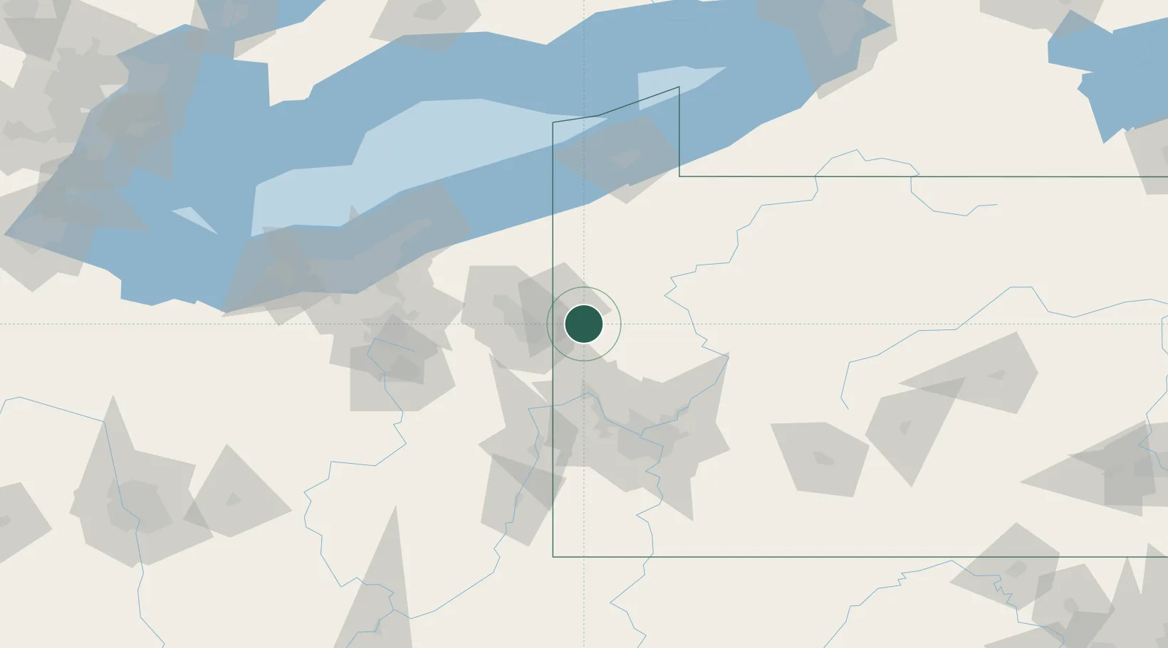
New Wilmington
41.1167°, -80.3333°
2,233
Population
3
Transport functions
Transport Functions
Rail
Road
Multimodal
Hub Profile
Place type
Populated place
Region
Pennsylvania
Population
2,233
Time zone
America/New_York
Elevation
319 m
Location
Nearby Logistics Neighbours
Cities
- 1Volant7 km
- 2Pulaski, Lawrence8 km
- 3Coaltown10 km
- 4Sharpsville19 km
- 5Transfer23 km
Airports
Trade Zones
- 1FTZ No. 033 Pittsburgh80 km
- 2FTZ No. 247 Erie113 km
- 3FTZ No. 181 Akron Canton119 km
- 4FTZ No. 040 Cleveland133 km
- 5FTZ No. 295 Central Pennsylvania135 km
DatabookThe Record of Consolidated Knowledge
United States beyond logistics?