UN/LOCODE hub · United States
USSJS
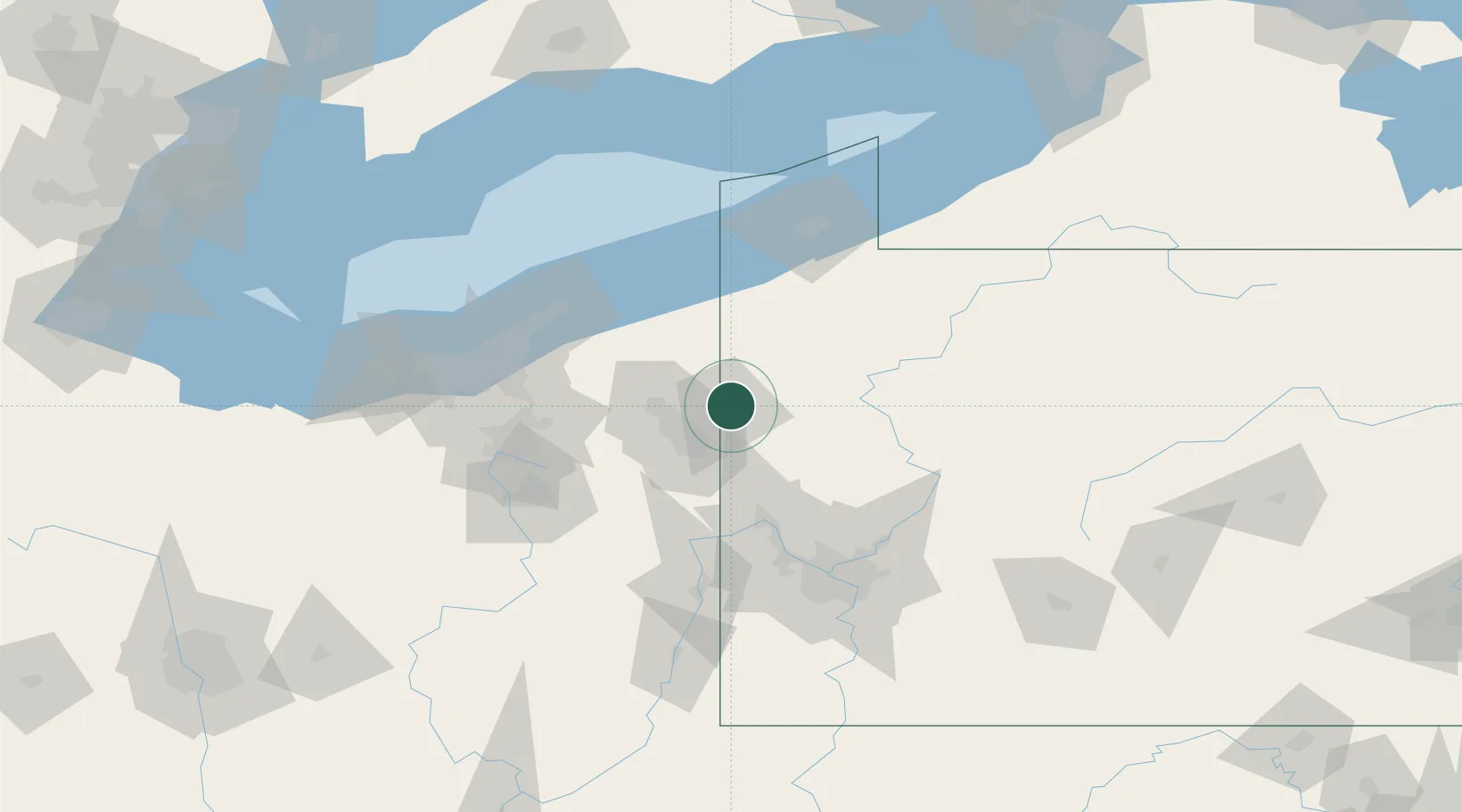
Sharpsville
41.2500°, -80.4667°
4,271
Population
2
Transport functions
Transport Functions
Rail
Road
Hub Profile
Place type
Populated place
Region
Pennsylvania
Population
4,271
Time zone
America/New_York
Elevation
314 m
Location
Nearby Logistics Neighbours
Cities
- 1Transfer9 km
- 2Pulaski, Lawrence15 km
- 3New Wilmington19 km
- 4Johnston21 km
- 5Kinsman, Trumbull24 km
Airports
Trade Zones
- 1FTZ No. 033 Pittsburgh98 km
- 2FTZ No. 247 Erie101 km
- 3FTZ No. 181 Akron Canton112 km
- 4FTZ No. 040 Cleveland118 km
- 5FTZ No. 254 Jefferson County145 km
DatabookThe Record of Consolidated Knowledge
United States beyond logistics?